

Looking for a map? Or two? Or three? Look no further!
Official GDT Route – 2026
This map is based on the latest GPS data for the Great Divide Trail.
Note that trail mapping information changes occasionally and may not be 100% accurate; use at your own risk.
| Map Feature | Description |
|---|---|
| Topographic lines begin to appear at 8x zoom. | |
| Main route of the GDT (red) | |
| Toggle the menu to turn on other map layers: | |
| Guidebook Waypoints (red) | |
| Alternate Routes (orange) | |
| Access Routes and Trailheads (yellow) | |
| Campgrounds, Huts and Lodges | |
| Resupply and Information Centre locations | |
| View larger map (opens new window) | |
| Download KML Google Earth file (from larger map only) |
Special thanks to the many people who have provided map data over the years.
The GDT App (updated regularly)
Download the FarOut App to access the GDT map, tracks, waypoints, and comments – $4.99 per section or the thru-hiker special of $24.99 for the entire trail. A portion of every sale of the App will go to the GDTA to maintain and improve the trail.
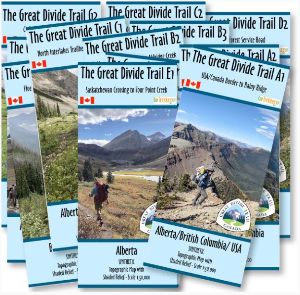
Official GDT Map Set from GoTrekkers available at GearTrade (2024)
These detailed 1:50,000 topographic maps are designed to be an essential companion for hikers, backpackers, and outdoor enthusiasts seeking to explore the breathtaking beauty of the Canadian Rockies. Comprehensive coverage of the entire Great Divide Trail featuring unrivaled topographic detail, contours, elevations, relief shading, clearly marked trail segments and junctions, campsites, water sources, notable landmarks and elevation profiles. Available in regular @ $15.95/map or waterproof @ $19.95/map. A portion of every sale of these maps will go to the GDTA.
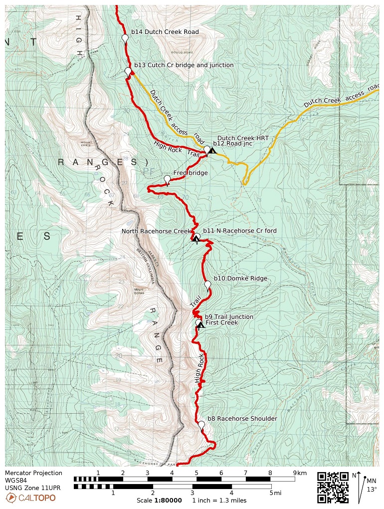
Guidebook Topo Map Set (2022)
These 1:80,0000 scale topographic maps are provided by Dustin Lynx as a free download. Owing to the large scale of these maps, they are intended as a print backup to an electronic means of navigation, such as an app or GPS device. The waypoints, segments, and sections are aligned with the guidebook, Hiking Canada’s Great Divide Trail, 4th Edition (2022), by Dustin Lynx. The coordinates for these waypoints are listed in the guidebook starting on page 395. You can also download a full list of coordinates and waypoints as a KML file from the Google map above. Please use these maps according to your own discretion and at your own risk.
Gem Trek Hiking Maps
| Map Name | Edition | Scale | Guidebook Waypoints |
|---|---|---|---|
| Waterton Lakes | 5th, 2023 | 1:50,000 | a1-a18 |
| Highwood & Cataract Creek | 4th, 2024 | 1:50,000 | b27-b31 |
| Kananaskis Lakes | 8th, 2024 | 1:50,000 | b38-c6 |
| Banff & Mt. Assiniboine | 10th, 2025 | 1:100,000 | c3-c23 |
| Banff Egypt Lake | 2nd, 2022 | 1:50,000 | c13-c23 |
| Kootenay National Park | 6th, 2022 | 1:100,000 | c15-c37 |
| Lake Louise & Yoho | 11th, 2022 | 1:50,000 | c37-d1 |
| Bow Lake and Saskatchewan Crossing | 6th, 2024 | 1:70,000 | d4-e7 |
| Columbia Icefield | 6th, 2020 | 1:75,000 | e11-e17 |
| Jasper & Maligne Lake | 9th, 2022 | 1:100,000 | e21-f1 |

Frequently Asked Questions about Navigation
Yes, always bring a map and a compass and know how to use them. Consider bringing a GPS or satellite-based communication device such as SPOT or Garmin inReach. Check out our Maps page for a GPS based map of the entire trail. The detailed descriptions in the guidebook can also be helpful in keeping you on track. Because weather and trail conditions are always changing, it is best to research your route from as many sources as possible; don’t rely on a single source and be prepared to improvise.
Another option is the Great Divide Trail App by FarOut Guides, a GPS map-based hiking guide for smartphones and tablets. The App works in airplane mode. No mobile service or internet is required after initial setup. The app uses your device’s built-in GPS and downloaded topographic maps. We recommend that you always bring a paper map and compass even if you have the GDT App (because a map’s “battery life” is significantly longer than that of a smartphone).
Yes, the GDT is marked on several maps, including the Gem Trek series, Backroad Mapbooks and Dustin Lynx’s Guidebook Topo Map Set.
The GDT is officially signed in portions of Sections A, B, D and G, but elsewhere the GDT is not officially signed. Much of the trail within national and provincial parks is well marked but not identified as the GDT. The route is actually made up of several separate trail systems joined together by ATV tracks, roads, and wilderness routes. The GDT varies from being a well-developed, signed trail to an unmarked, cross-country wilderness route where navigation skills are required.
Yes, check out our Map page for a GPS based map of the entire trail. A KML file for the GDT can be downloaded and easily converted to GPX format for use on GPS devices.
You can find more FAQs on each of the pages, or on our Frequently Asked Questions Page