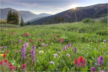
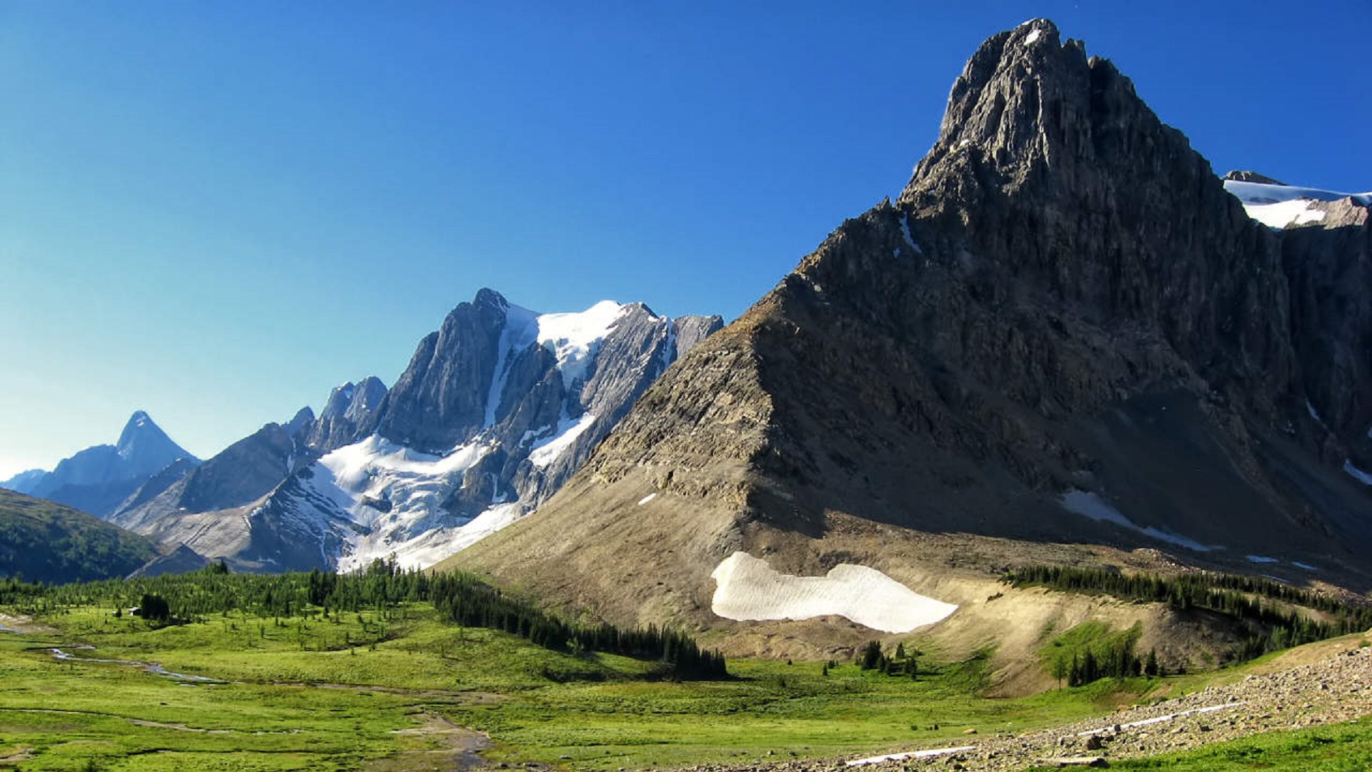
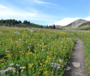
August 2018 Trail and Road Conditions
Trail Conditions Update – August 30, 2018 WILDFIRES: Fire hazard ratings have reduced in the Rockies. Rain has improved the air quality somewhat but smoke and haze may be present in valleys due to forest fires burning near the GDT. SECTION A TRAIL CLOSURE: Due to the Boundary wildfire, the GDT…