The biggest challenge of thru-hiking the Great Divide Trail (GDT) isn’t the remoteness, the wildlife, the mountain passes, or the river crossings. It’s getting all the camping permits. But why is this so hard? What is the Great Divide Trail Association (GDTA) doing about it? And why isn’t there a blanket permit for the entire trail?
Why it’s so hard.
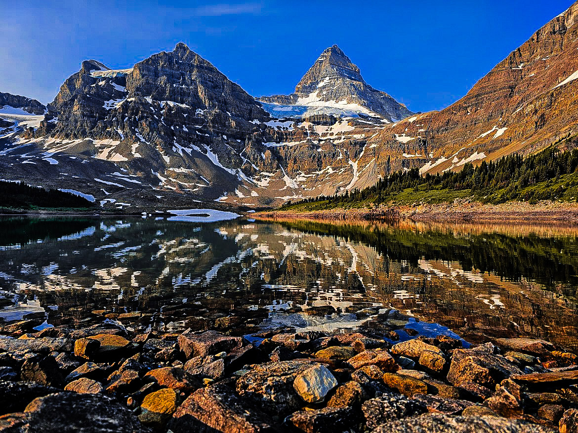
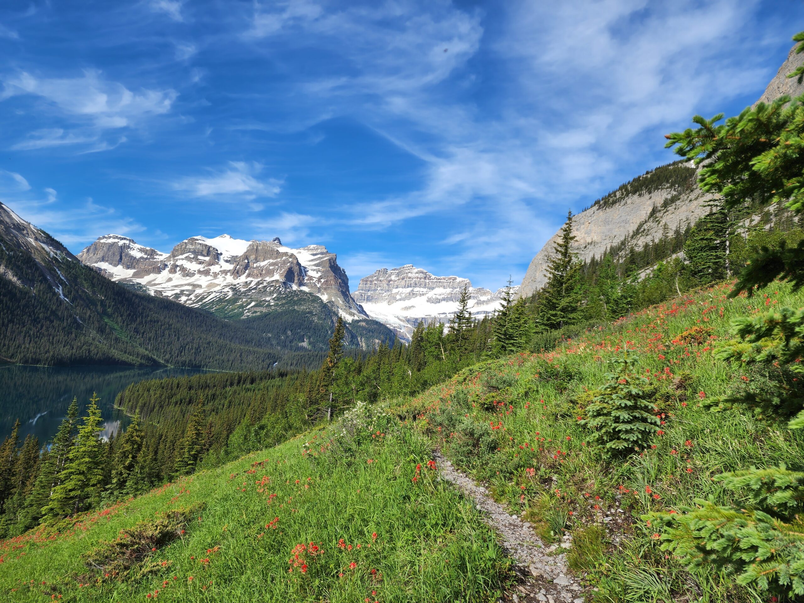
For starters, the GDT passes through five National Parks, eight Provincial Parks, three Wildland Provincial Parks, two wilderness areas and two special management areas. That’s a lot of different management jurisdictions and each of those areas has unique challenges and concerns. Consider Banff and Jasper National Parks – the two more difficult areas to secure permits. Banff sees 4.29 million visitors a year (1) while Jasper sees 2.41 million (2). Given those numbers, it makes sense that there needs to be a system in place to ensure that these areas aren’t overrun.
“But thru-hikers travel lightly, and we’re not the ones that will cause the damage” you might say, and you would have a point. This unfortunately doesn’t address the fact that many others also want to access these spaces. In 2023, Parks Canada was quoted as saying that “nearly 50,000 devices were connected to its reservation system when it opened … and more than 42,000 reservations had been made in the first six hours” (3). Another way to look at this is: just because we’re doing something special, does not make us special. We may tread more lightly and demand less from these paths, but others are just as entitled to access those spaces as we are.
What are we doing about it?
The GDTA is aware of these challenges. Whether you are out there for the day, weekend, a section, or the whole thing, the GDTA is working towards making things better. Many hikers have already benefitted from the trip planning resources provided by the GDTA. The popular itineraries are curated annually and avoid the most popular (and therefore hardest to book) campsites. Behind the scenes, our Executive Director and Trail Information Manager have collaborated with Parks Canada to make small changes to the booking system – for example you may see fewer “those sites are too far to walk in a day” errors.
If you’re new to the Parks Canada reservation system, or just need a refresher, check out our National Park Backcountry Permit Online Reservation Instructions for a step-by-step guide to booking your campgrounds. Parks Canada reservations open January 22, 2025!
If you have read our Strategic Plan, you’ll see that one of our priorities is to “Advance Solutions that Improve Ease of Access”. You’ll notice that this doesn’t specifically say “one permit to hike the whole trail”. That is certainly one major milestone that would provide easier access to GDT hikers – but we recognize that something this large takes a lot of time and lot of collaboration with our partners. We’ll continue to build these strong relationships, but we’re simultaneously working on other ways to facilitate accesses.
How can you help?
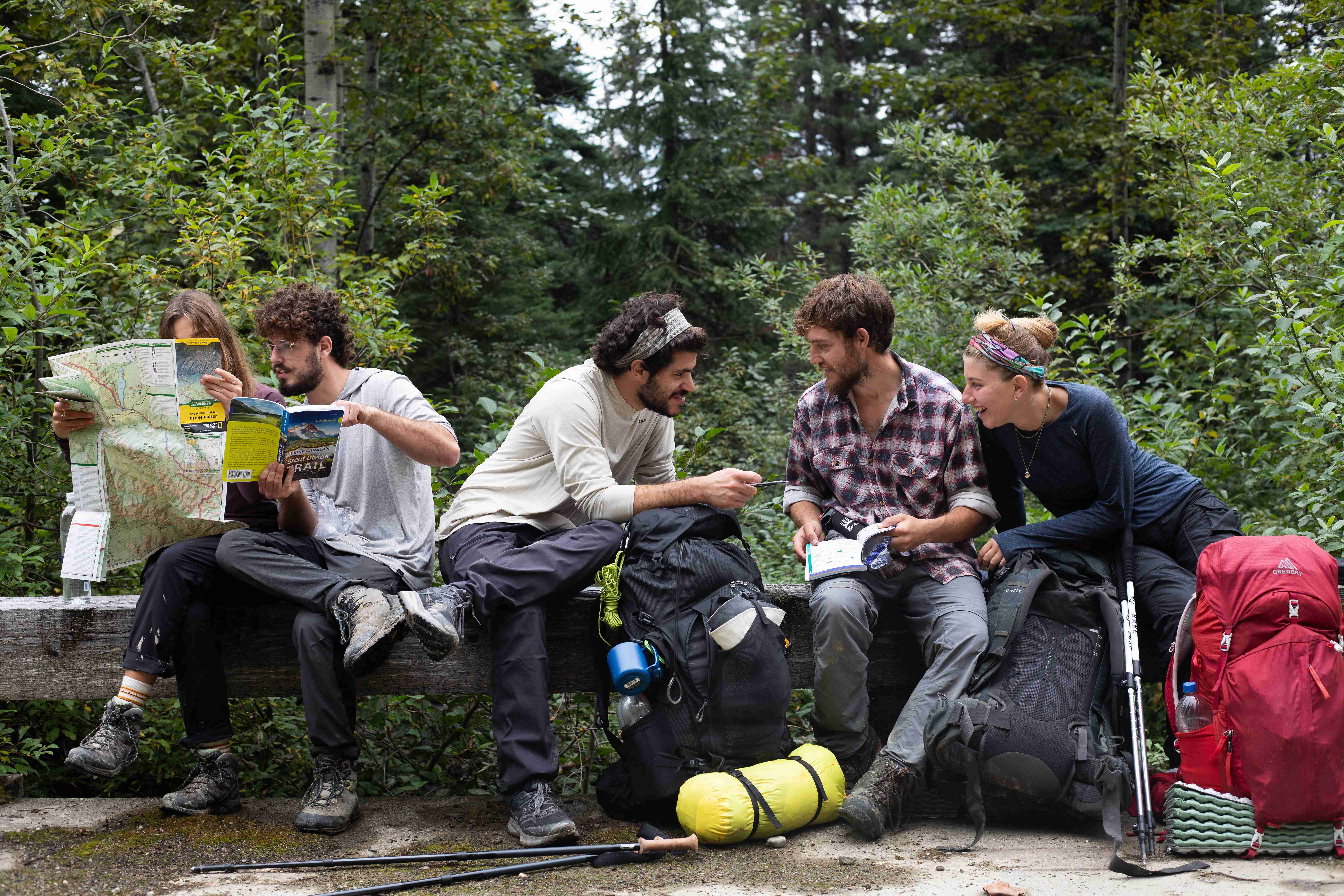
If you’d like to see the permit system get better for GDT hikers, there are some very important things that you can do.
1. Get and stick to your permits
Our partners at Parks Canada and the multiple Provincial Parks the trail runs through are tasked with protecting sensitive ecosystems, and they have instituted a permit system to accomplish that. The best thing hikers can do to help the GDTA build relationships with the Parks is to respect their systems.
Having a spreadsheet of campgrounds is daunting, and keeping to those dates can be hard – after all, the weather and your body may have different ideas about how far you can hike in a day. It’s still on you to camp only where you’re legally allowed to. Luckily there are a few tips that can make this easier:
- – It’s a good idea to consider a slightly slower pace than you think you can do – the GDT is physically demanding, and at worst you’ll just have a bit more time to enjoy the spectacular surroundings.
- – Add in a zero day or two. Having a few zeroes will create a buffer where you can “catch up” to your schedule if you fall behind.
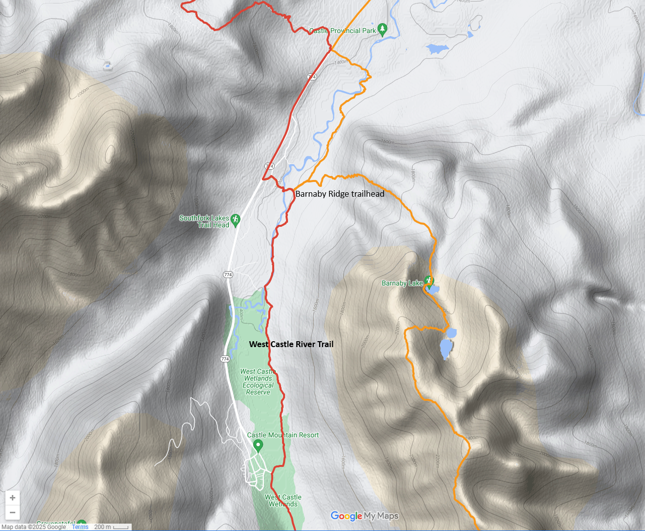
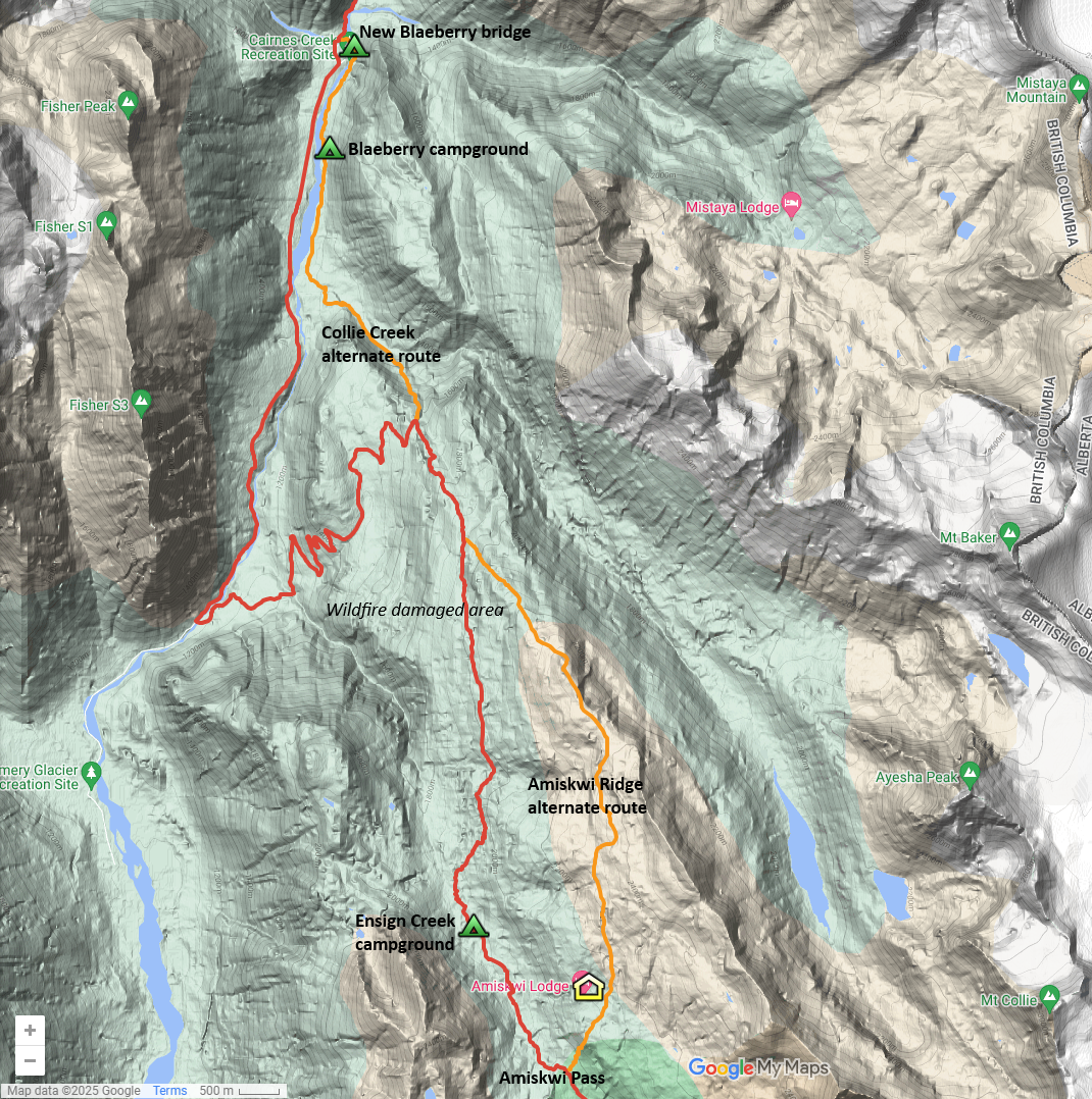
- – Look at the alternates. If you’re not moving as fast as you planned, check to see what alternates are coming up. Not all of the alternates take you over beefy and harder terrain. Some of them are actually shortcuts or bad weather alternates, and can help you make up time.
2. Be a good ambassador for the GDT
Our goal is to have all land managers think “we love the GDT”, and you play the biggest part in that. Everyone who hikes the GDT is implicitly an ambassador for the trail. Your actions will be attributed to “anonymous GDT hiker”, which in turn affects the opinion of all GDT hikers passing that way after you. Practicing Leave No Trace and abiding by the regulations of the specific park you are in go a long way to helping the GDTA.
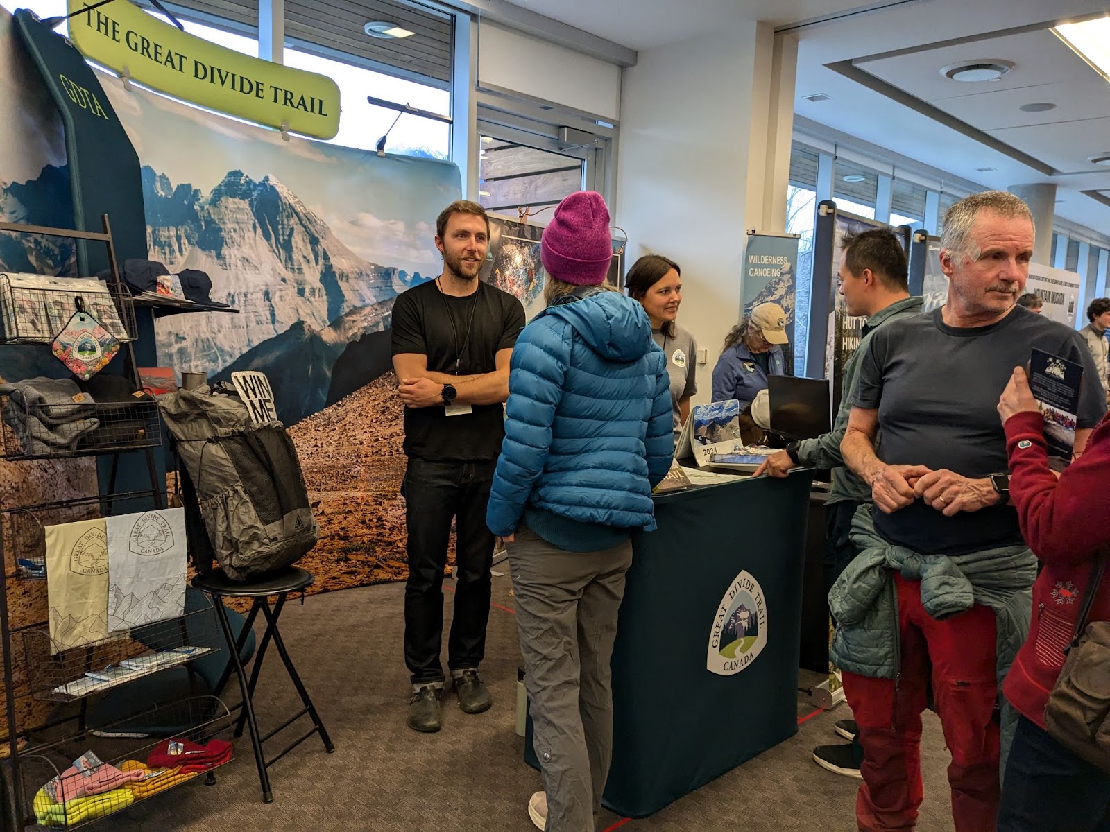
3. Become a member
The Parks balance the protection of the park against the people using the park and therefore the number of GDTA members is a consideration when we engage with them. Remember those numbers from earlier in this article: 42,000 reservations in a single day? The GDTA currently has approximately 600 members. Membership numbers help the GDTA negotiate with partners to reduce permits for future thru-hikers. The more members the GDTA has, the more likely Parks Canada or provincial parks are to consider thru-hikers when implementing permit systems. If you are frustrated at the current permit system, one of the best things you can do to help is become a GDTA member.
And of course there are numerous other benefits of being a member, including discounts at businesses along the trail, discounts at GDTA events, and invitations to volunteer doing trail maintenance.
1 Jasper National Park: visitor numbers Canada 2024 | Statista
2 Banff National Park: visitor numbers Canada 2024 | Statista
3 Parks Canada says reservation system appears to be meeting ‘high demand’ for camping – West Coast Traveller