

Trail Conditions Update – July 27, 2020
While Alberta and British Columbia continue to cautiously move into the next phases of living with COVID-19, the Great Divide Trail Association is considering what is best for the health and safety of the trail community that we serve. Staying active in the outdoors is an excellent way to keep your body and mind healthy but we need to continue to do our part to limit the spread of COVID-19.
At this time, the GDTA supports single-day hikes or horseback rides on the GDT and longer (weekend or multi-day), self-sufficient trips that don’t require resupply, where trails and trailheads are open.
Please observe 2-metre physical distancing at all times on the GDT and avoid long-distance ‘thru’ hikes that involve resupplying and interaction with people in communities along the GDT. To limit the potential transmission of the virus between you and others, being completely self-supported on GDT outings is essential. Stay local, bring everything you need, avoid side trips from the trail to resupply, and always Leave No Trace.
- Parks Canada re-opened all national parks along the GDT on June 1, and all GDT backcountry campgrounds in the national parks re-opened on June 22. New online reservations for backcountry campgrounds opened on June 24. All existing national park reservations prior to June 22 will be automatically cancelled and refunded in full. Existing reservations from international visitors, including visitors from the USA, will be cancelled and automatically refunded in full up to and including August 7, 2020.
- Alberta Parks re-opened all provincial parks on May 1. Campground reservations opened on May 14 for Alberta residents only for camping dates starting June 1. All Alberta backcountry campsites – both reserved and first-come, first-served – now allow 100% capacity.
- BC Parks re-opened all provincial parks along the GDT on May 14. Most provincial backcountry campgrounds along the GDT re-opened on June 1 for BC residents. Backcountry camping opportunities remain available for non-BC residents accessing Elk Lakes, Height of the Rockies and Mount Assiniboine provincial parks on the Alberta/BC border through existing established trail routes.
CLOSURES:
- Waterton Lakes National Park: The Akamina Parkway is closed to vehicles, pedestrians and bicycles due to construction resulting in no access to Cameron Lake, Akamina Pass, Rowe Lakes or the Mount Rowe Alternate Route. As long as the Akamina Parkway remains closed to hikers, a detour can be followed from Waterton Townsite to reconnect with the GDT via the Crandell Lake Trail, Red Rock Parkway and Blakiston Valley Trail, a distance of about 26 km vs 43 km on the GDT.
- Numa Creek Trail (Rockwall access trail) remains closed due to the bridge out over the Vermilion River. The pedestrian bridge is being replaced this summer and access to the Rockwall from this location will be restored later this year.
- Trail 7 near Jasper is closed to hikers south of the junction with Trail 7e and north of the junction with Trail 7a due to grizzly and black bears frequenting the area. Detour by taking Trail 4g to Edith Lake from where there are a few options to reach Old Fort Point trailhead or Jasper townsite. Equestrians can still use Trail 7 but are not to dismount.
- The public cabin at Kakwa Lake is closed this summer.
TRAIL NOTICES:
Wildflowers are blooming. Trail conditions are improving quickly but expect wet and muddy sections and snow patches at higher elevations. GDTA Trail crews are out maintaining the GDT in July so make your presence known when hiking through a work area and say thanks for all their hard work!
- CREEKS: Warm weather means rapid snow melt during the day resulting in high water levels and potentially dangerous creek crossings, particularly later in the day. Attempt to ford larger creeks early in the day when water levels are lowest. In general, creeks and rivers along the GDT are running higher than normal so expect wet and occasionally flooded trail conditions.
- BEARS: Bears are out and about. Be bear aware on the trails this summer: be alert, make noise and carry bear spray.
- FIRES: There are fire advisories in effect along much of the GDT including in all national parks. If you must have a campfire in the backcountry, ensure you follow the rules.
- The GDT is blocked by avalanche debris south of Tornado Pass (b16). Hikers can get around by traversing upslope.
- The Rockwall Trail is covered by avalanche debris on the switchbacks north of Numa Pass but the trail is still passable. A Parks Canada trail crew plans to clear the trail later this month.
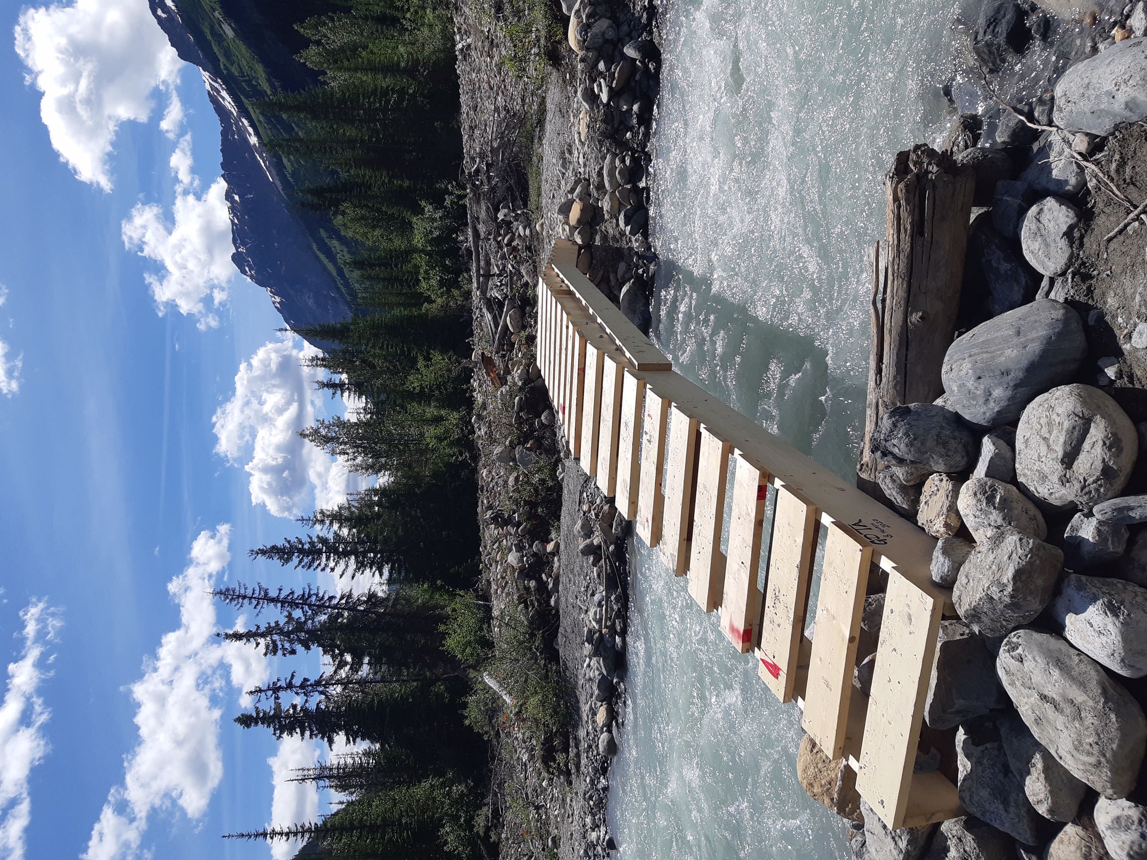
- Cairnes Creek (d9): A new temporary bridge was built on July 18 to replace the two fallen trees that washed away. If the bridge washes away, Cairnes Creek is glacial fed and a potentially challenging ford. It is recommended to ford the creek early in the morning when glacial melt is lowest.
- The David Thompson Heritage Trail was cleared from Cairnes Creek to Howse Pass in 2019. A new log bridge is in place across Lambe Creek.
- Descending the north side of Howse Pass (d11), the main route of the GDT now follows Conway Creek and Howse River floodplains wherever possible, without crossing the main channel of the Howse River. The floodplain is wide and scenic. There are several shallow fords of smaller channels on the floodplain so hikers must be prepared to have wet feet while enjoying a significantly better hiking experience than the old overgrown trail strewn with hundreds of fallen trees. In June and early July, the Howse River may be in flood making some sections of the floodplain difficult or impassable in which case hikers should consider using the old trail (now marked as an alternate route). Conversely, in late August and September when the river is low, hikers may be able to ford the main river channel and completely avoid any bushwhacking along the river’s edge. See here for a more detailed route description.
- The Yates Torrent Bridge is out at the crossing of the Coleman Glacier outflow (near f16). Do not attempt to cross at the old bridge location. There are two options: (1) ford the Smoky River in the floodplain; or (2) ford Yates Torrent approximately 500m upstream (location was flagged in 2017). At both locations attempt to cross early in the morning when glacial melt is the lowest or be prepared for a fast and potentially dangerous creek ford.
- The bridges across Gendarme and Carcajou Creeks are out on the Jasper North Boundary Trail. These two creeks are smaller than the Smoky River, but can still be treacherous. Cross Gendarme at the horse crossing just below the old bridge (marked), and Carcajou about 100m below the trail.
ACCESS ROADS:
- In Waterton Lakes National Park, the Akamina Parkway is closed to vehicles, pedestrians and bicycles.
- Sunshine Road reopened on June 21 but Sunshine Village will be closed for the entire 2020 season, including the shuttle and gondola.
- For more information, check out Alberta 511 and Drive BC.
National and Provincial Park Trail Conditions:
Banff National Park
Jasper National Park
Kootenay National Park
Waterton Lakes National Park
Yoho National Park
Akamina‐Kishinena Provincial Park
Castle Wildland Provincial Park
Castle Provincial Park
Elk Lakes Provincial Park
Height of the Rockies Provincial Park
Kakwa Provincial Park
Mount Assiniboine Provincial Park
Mount Robson Provincial Park
Peter Lougheed Provincial Park