

By Dave Higgins
I know what you’re thinking – what would possess a guy in his late 60s to even think of attempting the toughest, wildest, most remote part of the Great Divide Trail? Especially after watching videos of thru-hikers struggling through the ordeal of impassable deadfalls and blowdowns, endless choking willow, and daunting fords?
Only one small thing really – the fact that I’d resolved to complete the entire GDT, come hell or high water (pun intended)!
So when I learned last spring that GDTA president Doug Borthwick was organizing a small group of members to do this hike in August 2022, I “invited” myself along without a second thought. Second thoughts came a little later when I saw the prices of all the ultralight equipment I’d need to replace all my old-school backpacking gear. Next came the realization that I’d actually never attempted a backpack trip of this length and difficulty – the closest being a 2-week trek of shorter distance over pristine National Park trails with two resupplies enroute – when I was a more sprightly 25-year-old.
On the plus side, this trip would follow a very active spring and summer, doing work trips on the GDT and hiking a section of the Appalachian Trail – so hopefully I’d be in good enough shape to allow a reasonable chance of success.
In the event, Doug decided this wasn’t the case for himself. He’d suffered a severe bout of Covid after the final work trip of the year on the High Rock Trail, and decided not to attempt the hike, opting instead to provide logistical support to our group and several other grateful hikers needing a lift to or from the end of the trail at Bastille Creek near Kakwa Lake.
August 13th found our hiking party of four bouncing and splashing over the final 30 or so kilometres of decommissioned forestry road in Doug’s sturdy pickup. A lone outbound figure came into view a short distance from the trailhead at Bastille Creek – it was none other than ‘Pez’ (Johannes Beiser) from Germany, whom we’d last encountered in early July just north of Coleman at the start of the High Rock Trail. Pez had the distinction of being the first GDT hiker over the new Allison Creek bridge and the new reroute built to access the bridge – which we’d just opened minutes before he arrived on the scene. It was great to renew acquaintances and hear about his adventures on his successful thru-hike.
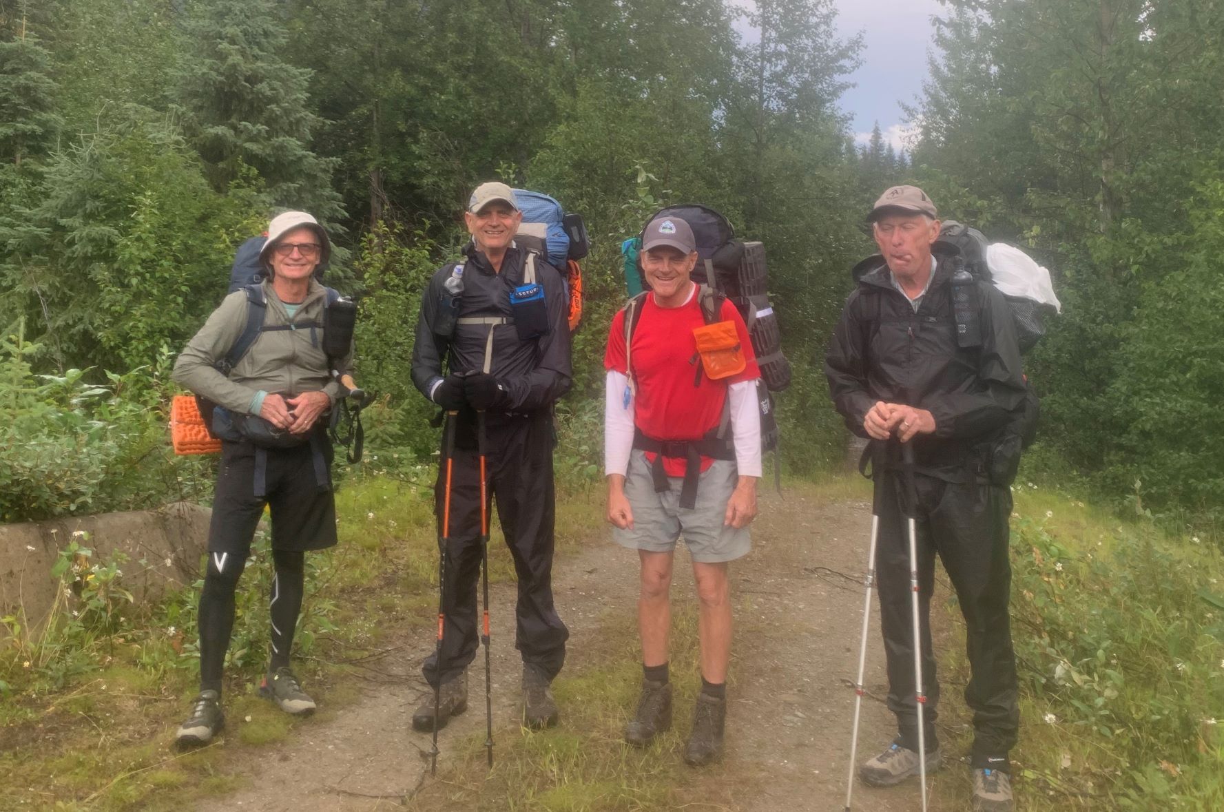
Then it was time to say goodbye and thanks a million and wish you were coming with us, etc., to Doug (who was eager to get turned around and give Pez a ride back to civilization). And so began a 15-day trek to where the GDT pops out on Highway 16 west of Jasper – a trail distance of 265 kilometres, or 280 including the out-and-back to access our resupply at the Blueberry trailhead. My hiking buddies were fellow GDTA volunteers Paul Jollymore, Stuart Mitchell, and Ernie Slatter – all in their 60s as well. Doug called us the 4 Musketeers.
A few words to describe the initial 28-km access to Kakwa Lake itself: it’s the bare minimum that must be traveled on foot (and that might soon double, as the BC Forest Service has stopped doing any maintenance on about 30 km of road to Bastille, possibly even pulling out several bridges on side-creeks rendering vehicle travel impossible). The route is a long-since abandoned section of the forestry road that’s reverted to trail status. Although used in winter by snowmobilers, it’s mostly single-track and includes one significant ford of Buchanan Creek at the 11-km mark (Note: a new footbridge was reportedly built here sometime after our trip, by persons unknown). Many areas are muddy and there’s a near-bushwhack alongside McGregor River where the old road has been washed away in places.
Arriving at the lake is something of a revelation, though, not least due to the pristine cabin that awaits hikers coming from both directions – kept that way in 2022 by park hosts Donna and Dan. That night we shared the place with David and Erika, an American couple that began their 2022 GDT trek at Mt. Shark near Canmore (profiled on their YouTube channel, Adventure Muffin Productions).

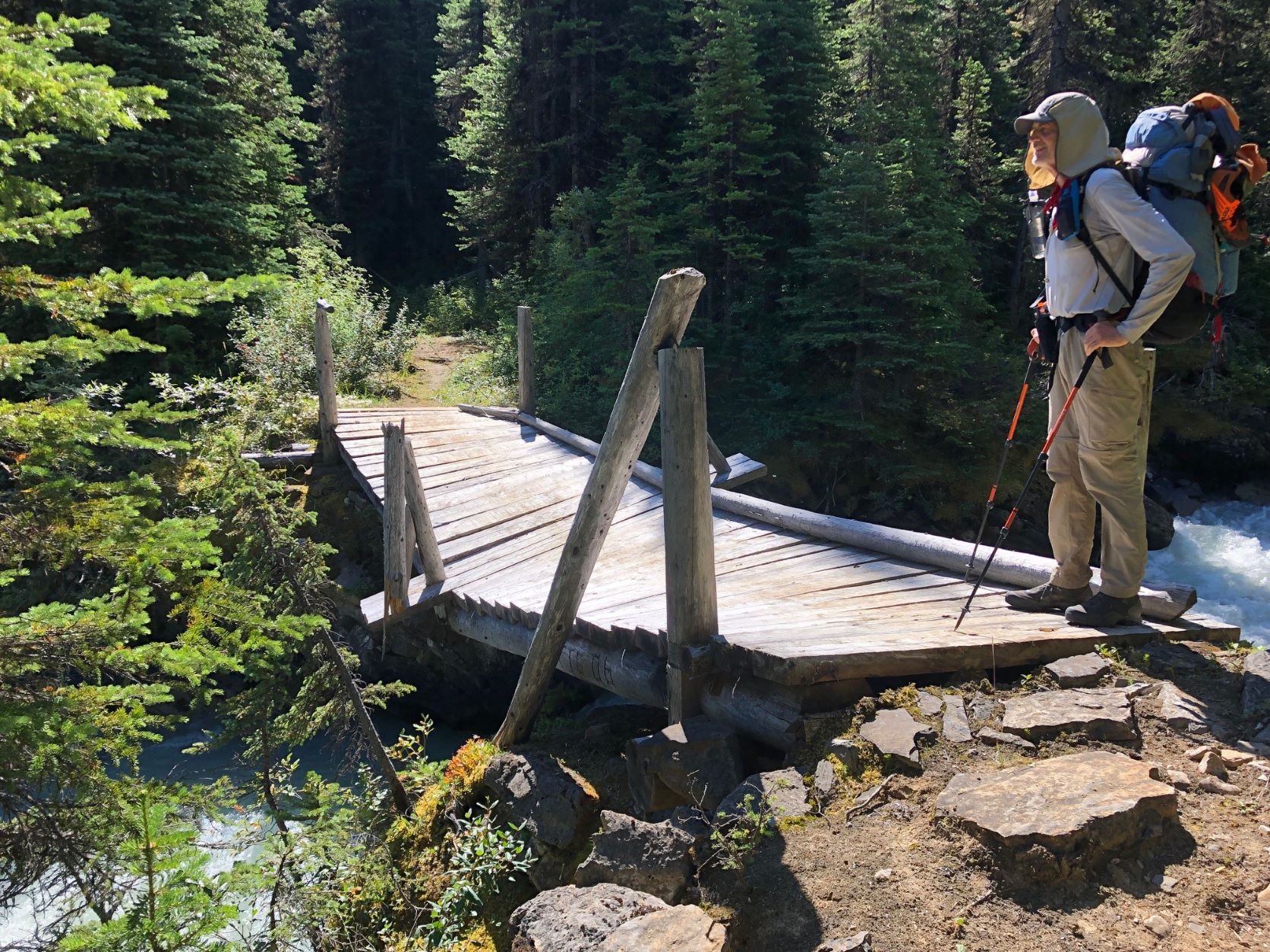
“The 4 Musketeers” at Bastille Creek – Paul, Ernie, Stuart and Dave (his expression indicating more second thoughts!!) 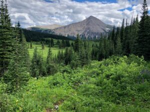
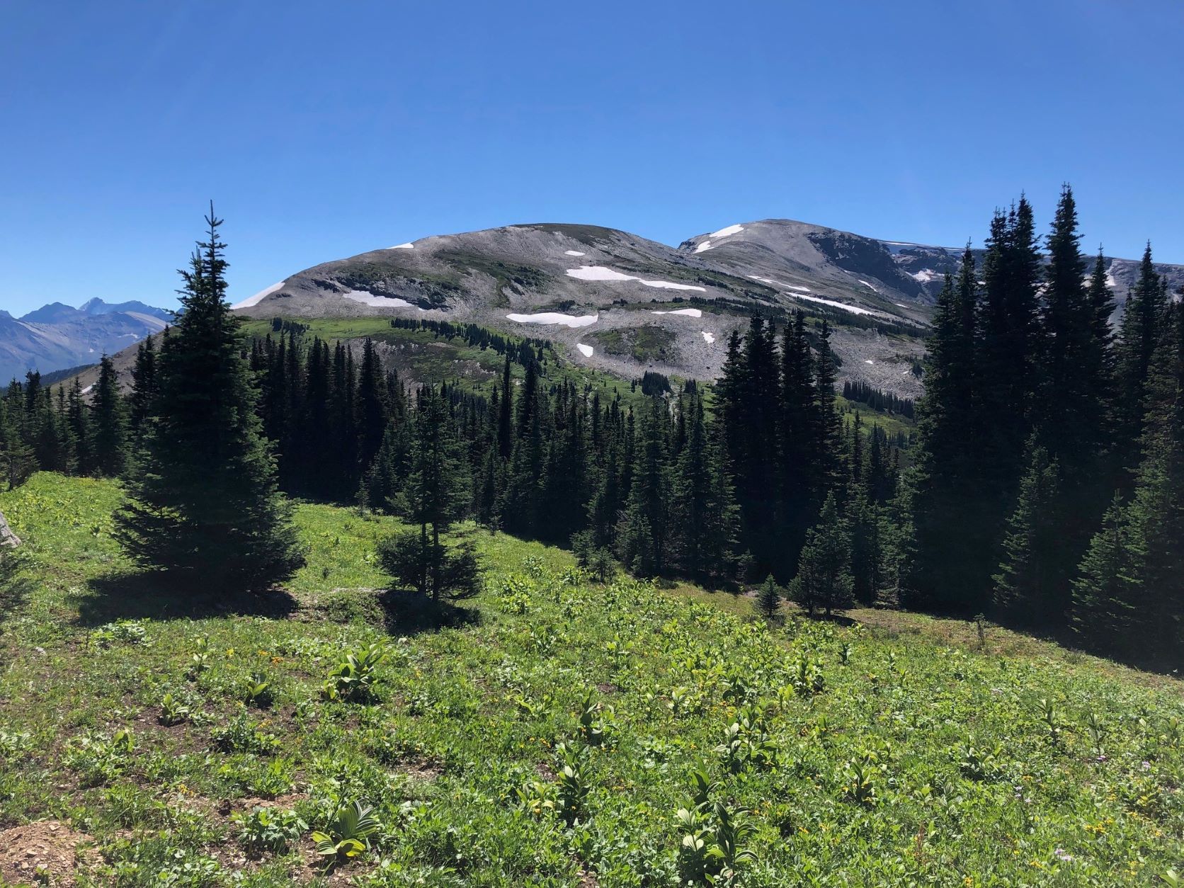
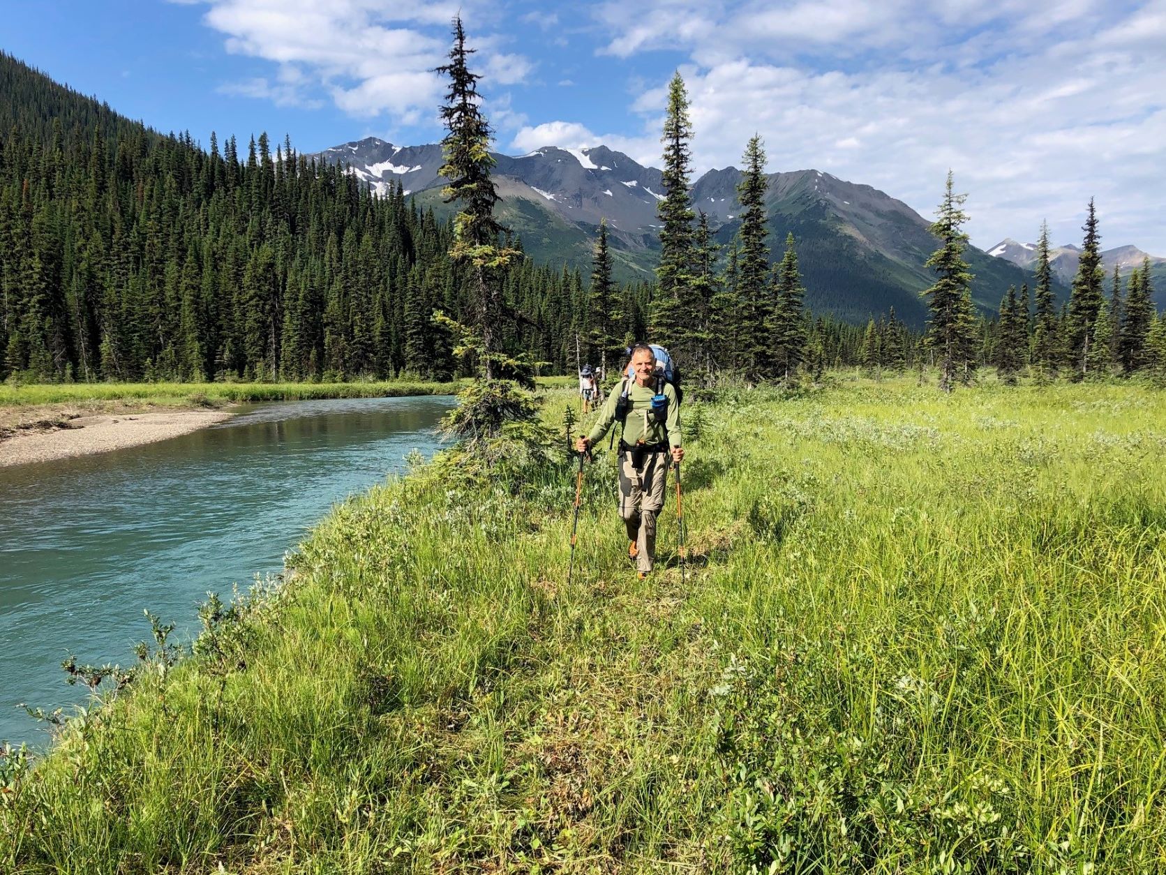
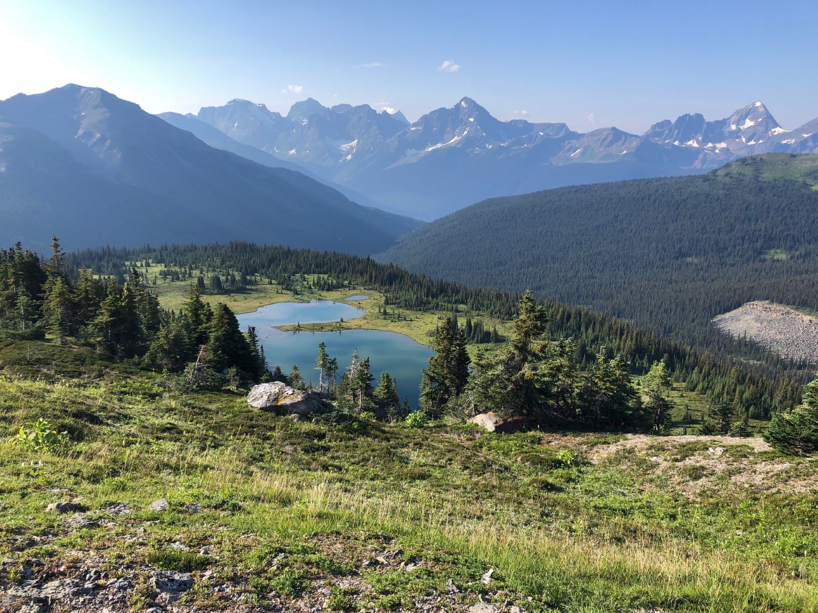
Willow-covered meadows at Providence Pass, looking south.

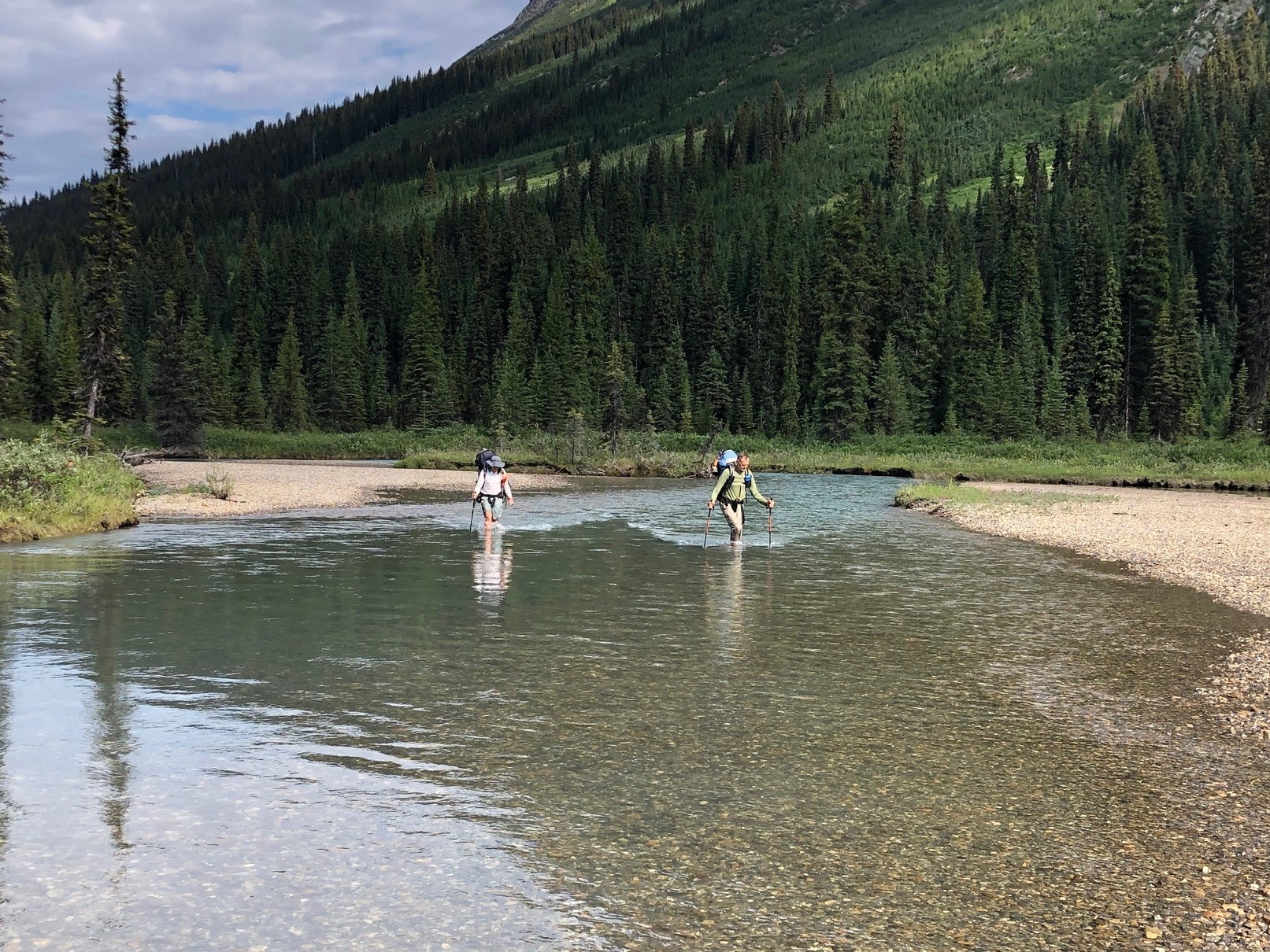
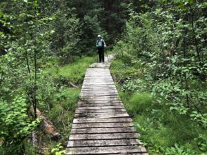
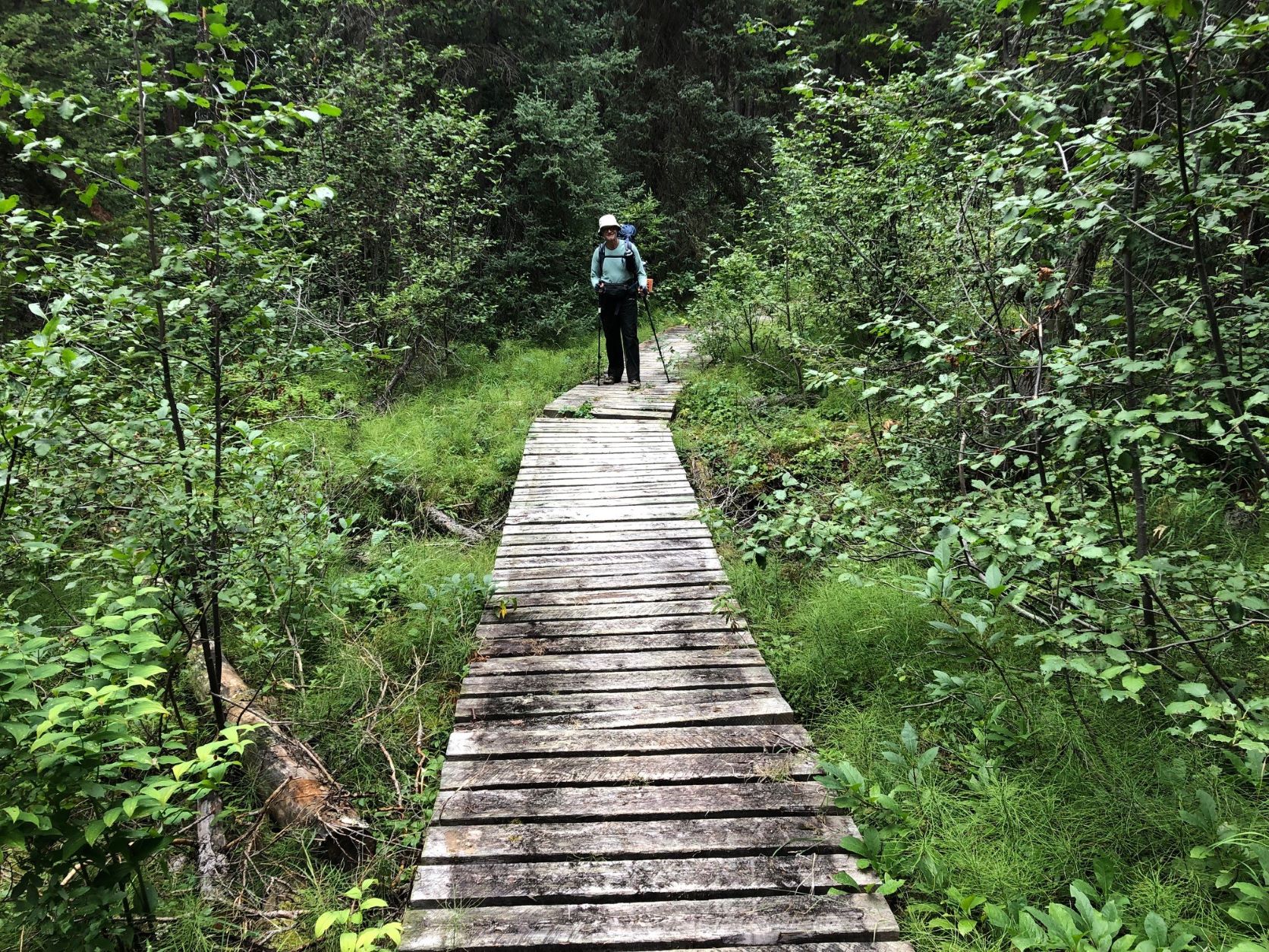
The next morning found us on the GDT proper at Kakwa River, just a short walk from the cabin, negotiating the first of dozens of creek and river fords we’d face over the next 2 weeks. Then it was literally a walk in the park as Dan had just brushed the willows for the first couple of kilometres of the extensive meadowlands the GDT route meanders through on its way towards Cecilia Lake, 15 km from the northern terminus. Reality hit after the manicured part, though – keeping to the trail became a team effort as one or two of us consulted the FarOut App and the others scanned the sparse tree cover for GDT reassurance markers or flagging tape. Short segments of actual but overgrown trail were interspersed with grassy meadows where we’d lose the route and have to fan out to find it again. This was to be the on-and-off pattern for the next couple of weeks. I sure missed my orange paint blazes! On the plus side, at low-elevation Providence Pass we caught sight of a majestic bull caribou which might have gone unnoticed if we had a trail tread to stare at the whole time.
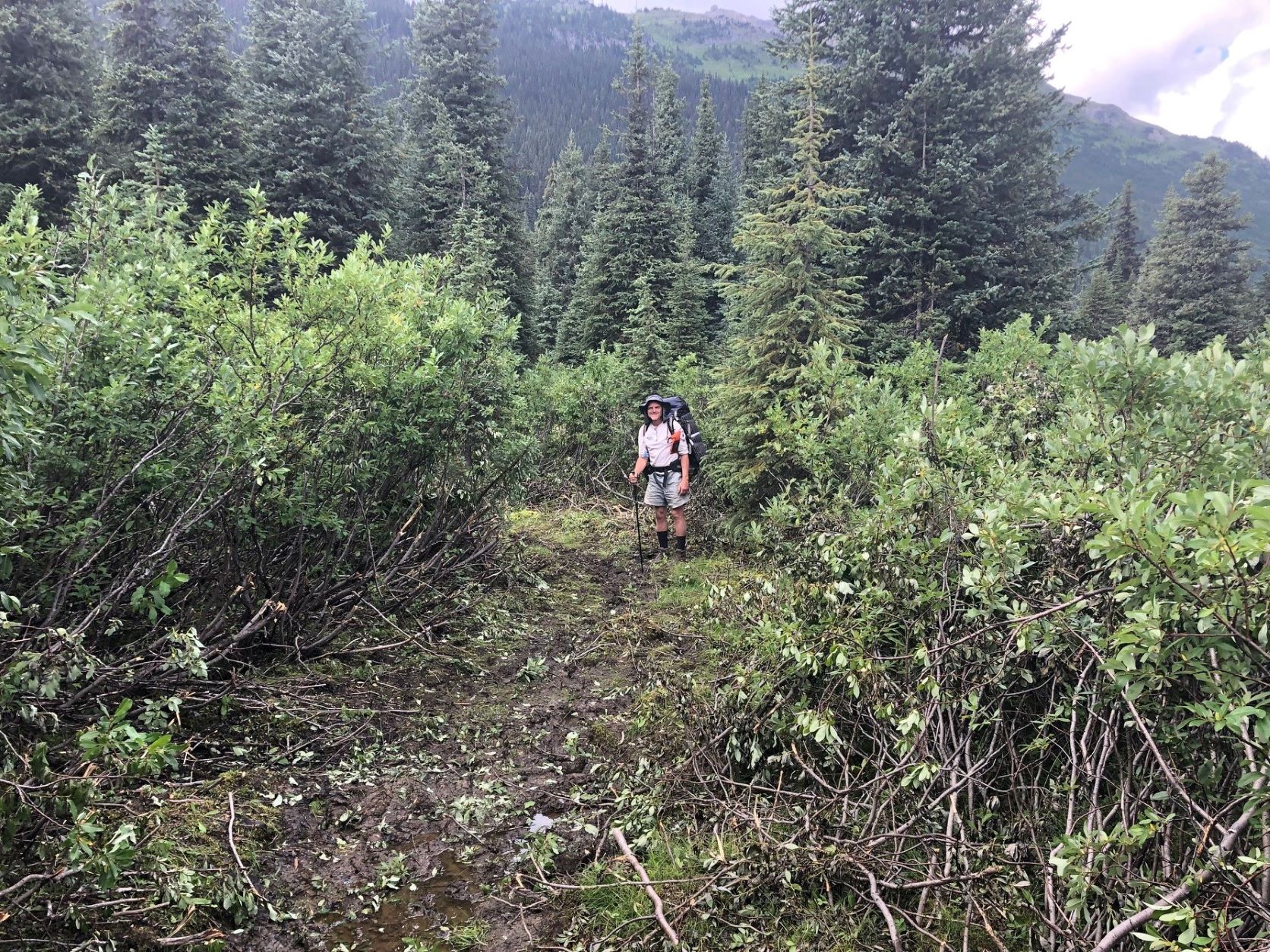
Another not-so-great-for-hikers aspect of Section G is all the boggy, spongy, sodden terrain – it’s a feature of most valleys in this country, even where the land is sloped. The region seems to contain a sizable volume of Canada’s fresh water resources! And wherever tree cover is sparse, willow often takes full advantage, growing up to 2 metres high and making foot travel tiring and frustrating.
The size and extent of willow growth, and its tendency to fill any space where there’s enough water and sunlight, is staggering. We wondered whether all this willow was a more recent phenomenon, for surely it would have made horse travel very difficult if it was like this in earlier years. Some scientists claim that higher carbon levels in the atmosphere are encouraging leafy plants to thrive in places where growing conditions are otherwise marginal. Who knows – maybe there’s something to that. Any experts out there?
We’d already decided our trip would follow the official GDT route, avoiding the scenic alternates so we could get a sense of what this northern extremity of the GDT was really like and identify sections requiring maintenance or improvement. Needless to say we identified a lot!
Why did we do this trip southbound? Well partly for logistical reasons but also because we’d encounter the mostly NOBO thru-hikers face-to-face – find out where they’re from, hear their overall impressions of the GDT, and get first-hand trail reports. We met three that very first day, and many more in the following days.
That night’s camp objective was an alpine lake just south of Surprise Pass, about 22 km from Kakwa, but as the day wore on and route-finding consumed more and more time, that became more and more doubtful. A tricky ford of Cecilia Creek didn’t help the schedule, and neither did some serious willow-bashing between there and the Pass. We ended up 4 km short, finding a tolerable spot to make camp. The mosquitoes were atrocious and we hoped it was just that area, but alas they would be an attribute of every camp for the remainder of the trip!
What would not be repeated for the next week, however, was the rain that fell all that night and into the next morning – as luck would have it we were blessed with an awesome run of warm, crystal-clear days (apologies to Barb Lauer and her Section G hiking party, who did this route at the same time of year in 2020 and got rained on continuously – read all about it in the Autumn 2020 Pathfinder).

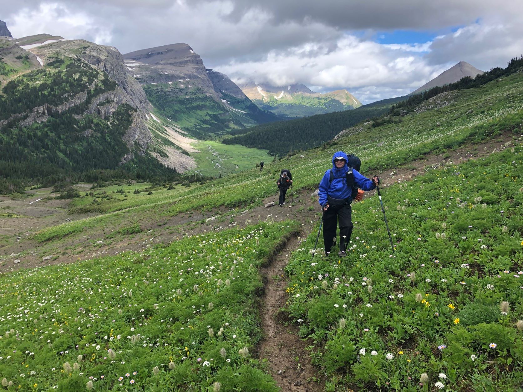
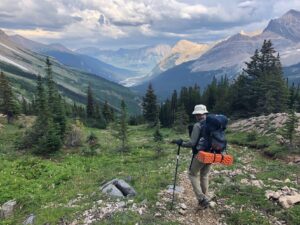
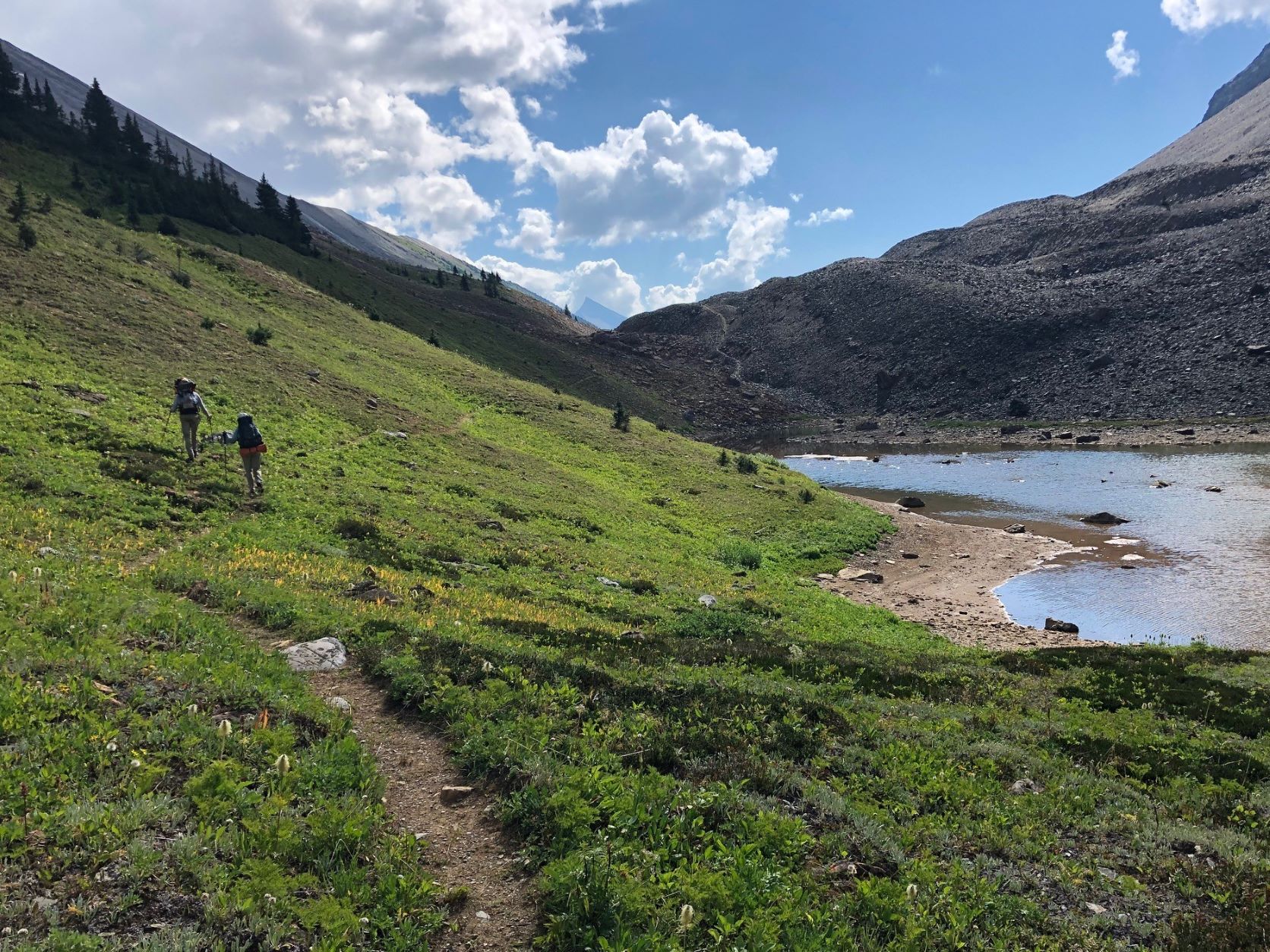
Paul on the way up to Surprise Pass, with upper Cecilia valley and Kakwa Provincial Park beyond. 
Big Shale Hill – a mere 400 metre ascent (700 m for NOBOs!) 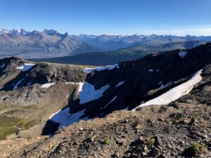
View of the Jackpine Valley from Big Shale Hill – eat your heart out, Barb!

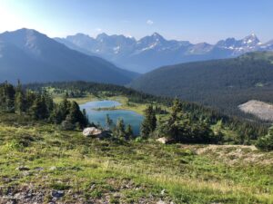
For the next several days we followed the GDT through beautiful valleys and across high passes and ridges in a spectacular wilderness setting with a backdrop of glaciated peaks in every direction, while criss-crossing the continental divide multiple times. The 360-degree views from Big Shale Hill are not to be missed!
On the way down from the summit ridge, we encountered cleared trail for the first time since Kakwa Lake, 70 km back. This was the start of the amazing work done by the GDTA’s Jackpine trail crew in 2021 and ‘22, a much-appreciated contrast to the overgrown, deadfall-littered trails we’d been contending with to that point! From there on, we enjoyed a clear, easy-to-follow route throughout the Jackpine valley (with all 20 fords of the river!) and up to Blueberry Lake. Timing is everything, huh?
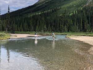
One of the 20 Jackpine River fords – rather enjoyable on a nice day! 
A smiling Ernie cruisin’ along newly brushed trail in the Jackpine Valley. 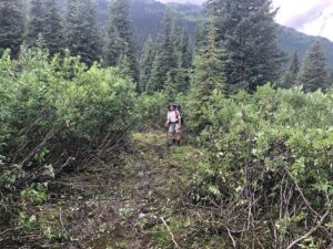
A good example of willow cleared out by GDTA crews, with Stuart for scale.
Blueberry Lake is the junction of a 7.5-km access trail that descends almost 1000 metres to the Holmes River Forestry Road. At the exact midpoint of the trip, it was ideal for picking up provisions previously stored there for us – well, it would’ve been a lot more ideal if the trail wasn’t so rough and overgrown! But you gotta play the hand you’re dealt, and maybe we were just spoiled by then.
Leaving Blueberry, the Trail ascends quickly to the scenic highlight of the main route in Section G – a 3-kilometre alpine amble right on the Divide through rough, rocky terrain, with extensive views in all directions, including a tantalizing glimpse of towering Mt. Robson to the south. There’s no trail tread here, so cairns would be a welcome improvement to avoid having to constantly monitor the GPS track, draining precious battery capacity.
Beautiful Blueberry Lake – a very nice spot to camp for 2 nights. 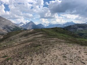
Mount Robson seen in the centre distance from the Blueberry Alpine.

Soon the GDT enters Jasper National Park for the first time, at Bess Pass, after a steep descent from Bess Shoulder on a very rough bit of trail. At this point, about 150 km into the trip, it occurred to me that much of the GDT route from Kakwa uses old trails that don’t always follow the path of least resistance, i.e. along stream valleys and across passes. No, they often climb up and over difficult-to-reach high spots like Casket Shoulder, Big Shale Hill, Blueberry Alpine and Bess Shoulder. How did they get there? For that matter, how did any of the trails in the region get there? We surmised that most of them were created by and for guided hunting parties in the days before hiking became popular, when travel by horse was the most efficient way to get around – and, I suspect, big game could often be found in those upland locales.
Horse travel along what’s now the GDT is rare these days. We saw little evidence they were using the trail, although many low-elevation campsites obviously had annual visits by horses, probably in the fall hunting season.
Paul starting down from Bess Shoulder, with Chown Floodplain in the distance. Rough trail ahead! 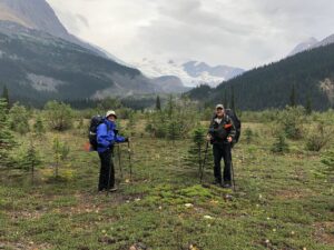
Paul and Stuart pausing on the floodplain to admire Chown Glacier.


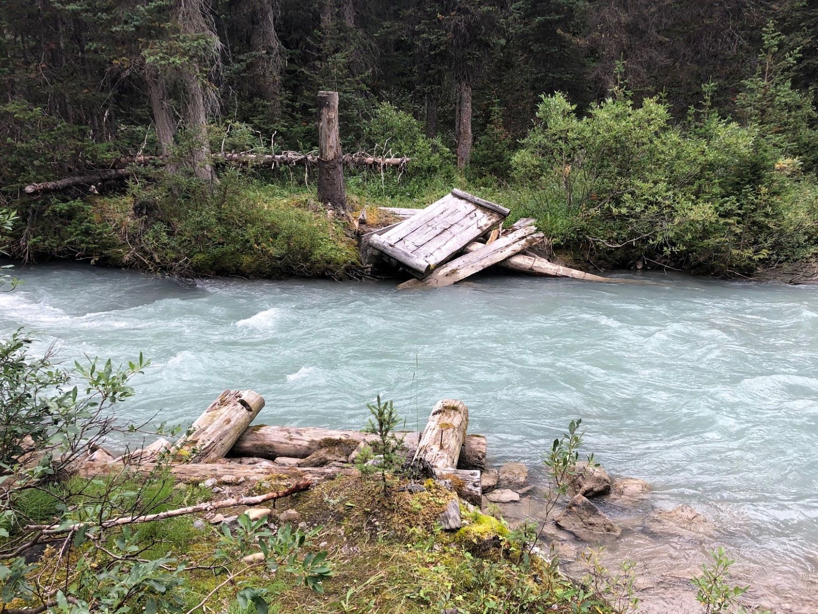
If we were expecting better trail conditions in the National Park, we were in for a disappointment. As I discovered later, all the trails used by the GDT north of Jasper have been officially deemed redundant, and no maintenance has been done for a number of years. Deadfalls and overgrowth abound, and of the many formerly bridged streams, only one still has a usable bridge and it’s not long for this world – check out the picture! When it’s gone, hikers will be in for a tough bushwhack and ford.

Remnants of Chown Creek Bridge – what happens when you give up doing maintenance. 
Ernie at the only remaining bridge in Sections F and G.
The North Boundary Trail is a case in point. As someone who’s spent decades building and maintaining trails, exploring this one was a revelation. This GDT segment of the much longer NBT, along the Smoky River, was obviously constructed by skilled people who located, cleared and built a trail that would stand up to the passage of time and thousands of pack animals without degrading. Ernie told me this trail was in use as the main access to Mount Robson from Grande Cache before the highway was constructed through Yellowhead Pass, and possibly pre-dates the railway as well. It’s truly a thing to behold – cleared to 3-4 metres of width, gentle grades, and places where rock retaining walls were built up to support the trail on steeper ground. Sturdy, wide bridges were created using local timber and renewed periodically.
And sadly, this piece of Canadian heritage is being allowed to degrade and pass into history. Hopefully the GDT will be its saviour, but this won’t happen unless our organization is successful in convincing the “powers that be” that their current backcountry trails policy should be revised, for the sake of safety if nothing else.

North Boundary Trail – a master work of trail engineering and a treat to hike. 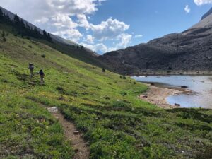
Strolling south through marvelous Moose Pass on the way into Mt. Robson Provincial Park.
After a long day’s travel along the North Boundary Trail, the GDT fords the Smoky and ascends to drop-dead-gorgeous Moose Pass, savouring the alpine for a few breathtaking kilometres as it gradually descends into Mount Robson Provincial Park. The trail is slightly better here, owing to BC Parks’ policy of allowing organizations like the GDTA to work with approved partners (in this case the Backcountry Horsemen of BC). The upper Moose River valley wasn’t overly hard to navigate but things improved dramatically after fording Upright Creek, and we followed just-cleared trail all the way to our campsite at Colonel Pass. A big shout-out to the GDTA crew and the aforementioned equestrian group! What did I say about timing?
Our second-last day, from Colonel Pass to Miette Lake, was enjoyable despite some blustery wet weather. The sweeping environs of Miette Pass (AKA Centre Pass) are a thing to behold, although the best wildflowers would have been seen a month earlier. A 3-km section of GDT once again has no trail to follow, but it’s pretty hard to get lost southbound. NOBO hikers, however, need to find one specific bit of orange flagging to locate the trail at the end of the tread-less segment.
Then, on our final day, we started down the Miette River Trail. Once again I was super-impressed with the quality of construction and the work that went into building this trail. Certain boggy areas along its 20-km length have, or should I say HAD, sturdy well-constructed boardwalks. About half the route is high above the river, in the forest, on a very steep slope. Long ago it was cut by hand into the hillside by people who were evidently obsessed with doing things properly – the trail keeps to a perfect, gently descending contour despite changes in the terrain, like gullies, and the need to remove large trees in the way. We don’t go to that much trouble building new trail these days (nor, I suppose, would we want to).
Sadly (again), this trail is being left to revert to a natural, or as Parks Canada puts it, a “wildland” state. Which is to say it will eventually become unusable. Ostensibly, Miette and the North Boundary Trail don’t get enough use to justify the expense of maintaining them, but that argument wouldn’t explain why Parks workers have been dismantling sections of boardwalk still in perfectly serviceable condition. More likely, current policy serves to discourage human use of the backcountry outside of specific areas that receive a lot of use, like the Skyline Trail for example. Just my opinion!
Still-intact Miette River Trail boardwalk – what a treat after all those bogs! 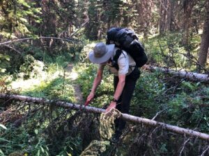
The author attacking “leaners” with the folding saw – what happens when you have a trail work addiction!

One “luxury” item I stuck in my pack at the last minute before leaving home was a small folding Corona saw. That turned out to be an inspired decision – not only was it super-useful for cutting firewood in camp, but having it on hand meant there was no excuse for not clearing the innumerable small-diameter “leaners” and “sweepers” that blocked the trail like railway crossing gates. Getting under, over or around these things is awkward and annoying. It took less than a minute to take care of each one, and over the course of the trip we must have cut out a couple hundred of these suckers! I think the GDTA should add a saw like this to the recommended gear list. (Note: it’s unlawful to cut any vegetation in the National Parks, unless you’re riding a horse and need to – hey, maybe I’ll take a horse with me next time!)
FINAL THOUGHTS
I’d highly recommend hiking this amazing part of the GDT if you haven’t done it yet. Yes it’s tough going, but trail conditions are improving every year. If a thru-hike is your plan, what you’ll find remarkable is how the landscape changes from one end of the Trail to the other, even though you’re in the Canadian Rockies the whole way. While the southern end is characterized by drier, less spectacular (but still breathtaking) terrain that’s never far from signs of civilization, as you travel north the mountains become more impressive, the creeks and rivers become deeper and swifter, and glaciers become a common sight. But you’re usually still only a day or two’s hike from a road. Once you leave Highway 16 near Jasper, however, you’re in a true wilderness the rest of the way. Everywhere you look are big mountains clothed in imposing glaciers, with cascading streams and waterfalls tumbling down their slopes.
You might be reading this thinking “I wonder if I could do this part of the GDT?” As long as you’re in good shape and have a reasonable amount of backpacking experience, then I’d say go for it! Having at least one or two buddies is essential, as is doing the trip in late summer or early fall to avoid the highest water and the nastiest bugs. But unless you’re in superb condition, willing to hike from dawn till dusk, and able to put up with a lot of discomfort, then plan on averaging 15 to 25 km per day (ours was 18) and resupply at Blueberry (we camped for 2 nights at the junction, hiking down with empty packs). Many thru-hikers are able to make 30 to 40 per day, but they’re often doing all F and G without a resupply. Park Host Dan told us some hikers arrived at Kakwa with zero food left, and he served up fresh-caught trout on more than one occasion, including to one person who was vegan!
An important point: The 2021/22 trail maintenance done in these sections has made a huge difference. And in mid-August 2023 the GDTA plans to clear and mark 28 km of poor trail between Sheep Creek and Kakwa Lake, and bridge the tricky ford at Cecilia Creek. So there’s never been a better time!
Lack of easy access to the northern terminus of the GDT at Kakwa Lake will be the main limiting factor, I think, for a lot of people wanting to do this hike. Conceivably, hikers will need to allow 2 to 3 extra days to walk the approach route if the road gets decommissioned. Margaret Gmoser, who at age 77 is likely the oldest person to have hiked Section G, describes in the Autumn 2022 Pathfinder how she solved the problem by hiring a helicopter to deposit her party at Kakwa. That might be a good option if the cost can be shared with a few others.
I’m extremely thankful to have had the opportunity (and the ability!) to cross Sections F and G off my to-do list. And it was also great to have three awesome guys to share the experience with. Now for Section E!!!