By Barb Lauer, Most Photos by Lynnie Wonfor
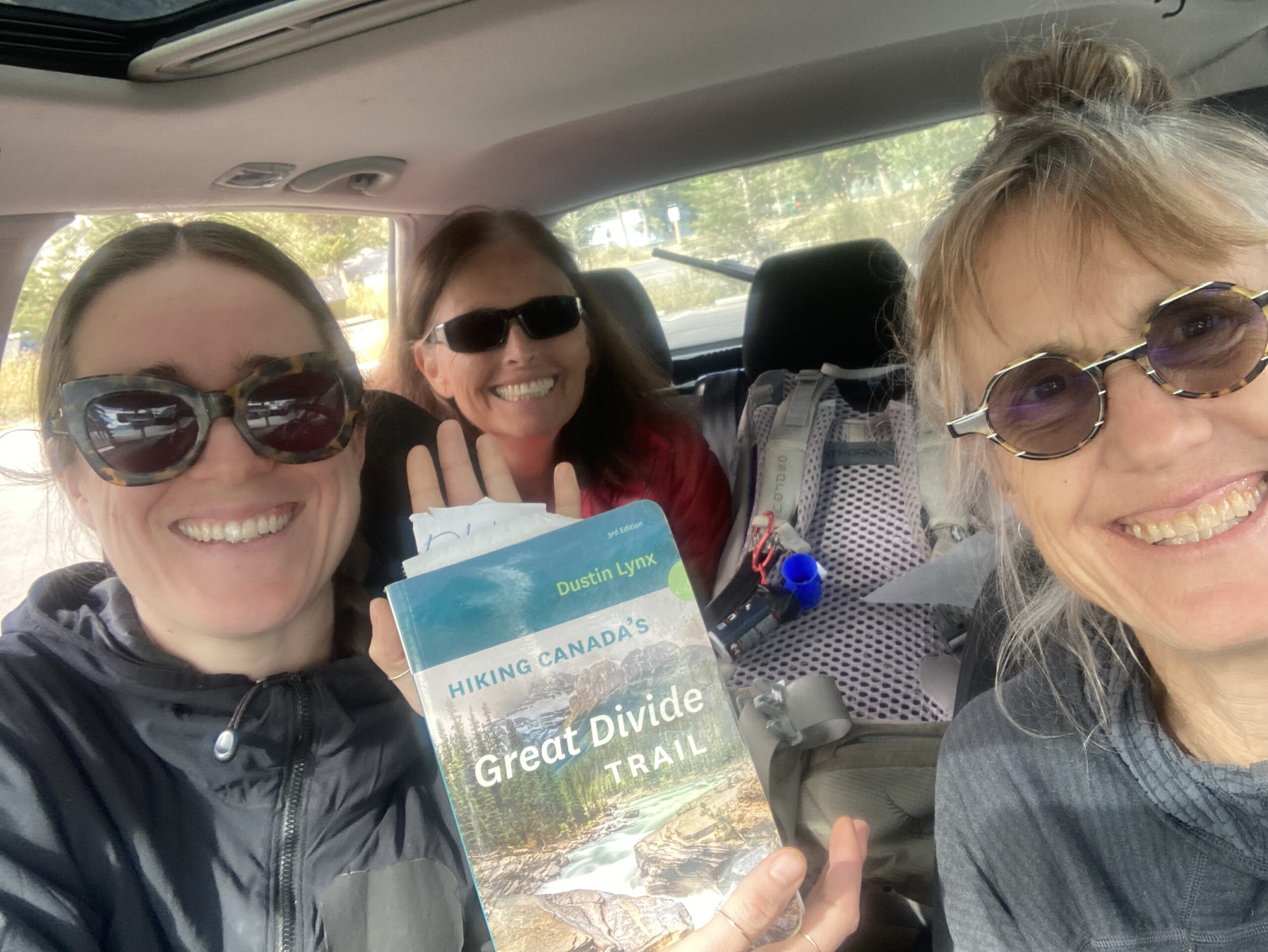
Last September (2022), mighty Lynnie Wonfor, her daughter, Zoe, and I hiked the Rowe Alternate as a weekend thru hike. We had planned to hike the last part of Section A (which we missed earlier that summer), but the weather was too good to pass up doing something a bit more interesting! And Rowe Alternate is indeed interesting! The total trip was about 30km, of which 12km was a ridge walk with spectacular views, varied trail, a few challenges, and interesting geology.
As an aside, if I was thru hiking Section A, I would steer clear of this alternate route if I could. As fantastic as it was, the thought of carrying an almost full backpack and sufficient water could make this day beyond challenging. We camped at Twin Lakes and so I can’t comment on the trail between South Kootenay Pass and Sage Pass. There are places to dry camp just before South Kootenay Pass but there is absolutely no water.
And it’s definitely not advisable to do this route if there is a strong wind or rain in the forecast. Most of the easy walking on the route is on the cliff edge, all good if the rock is not slippery and the wind is not trying to push you off it! Lynnie and Sophie, saw people scramble off the Mount Rowe ridge in bad weather when they hiked the normal GDT route via Lineham Ridge (which is an awesome hike in its own right).
But in September, with light backpacks, cooler weather and a blue sky, the Rowe Alternate route is the ultimate short thru hike. Our plan was to head onto the trail at Akamina Creek campsite, spend the first night there and the second night at Twin Lakes coming out at Red Rock Canyon the following morning. Total distance was about 30km, nothing too crazy for two days. Although the first day was about 19km with 1200m elevation gain, no water and more of a route than a trail. This was the perfect weekend challenge!
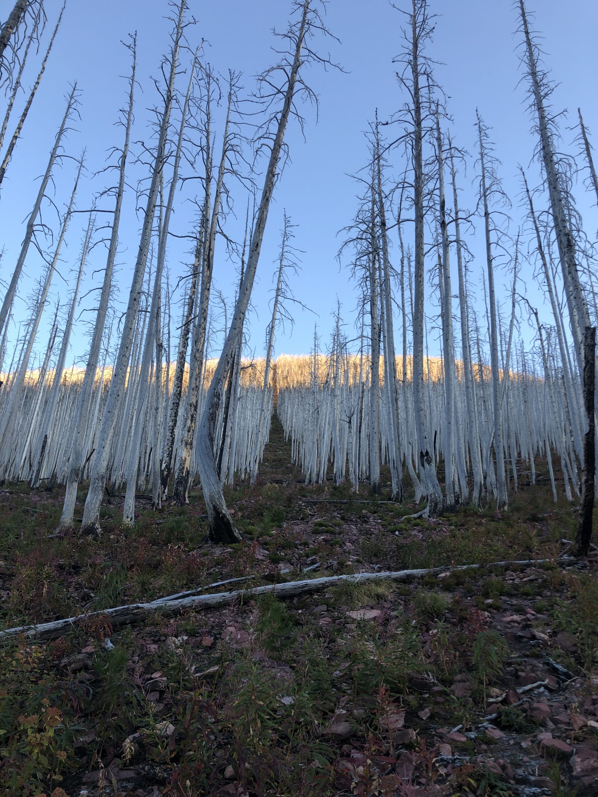
We arrived later in the day and hiked the ~2 km to Akamina Creek campsite. The campsite is fairly new; it was rebuilt after the forest fires in 2017.
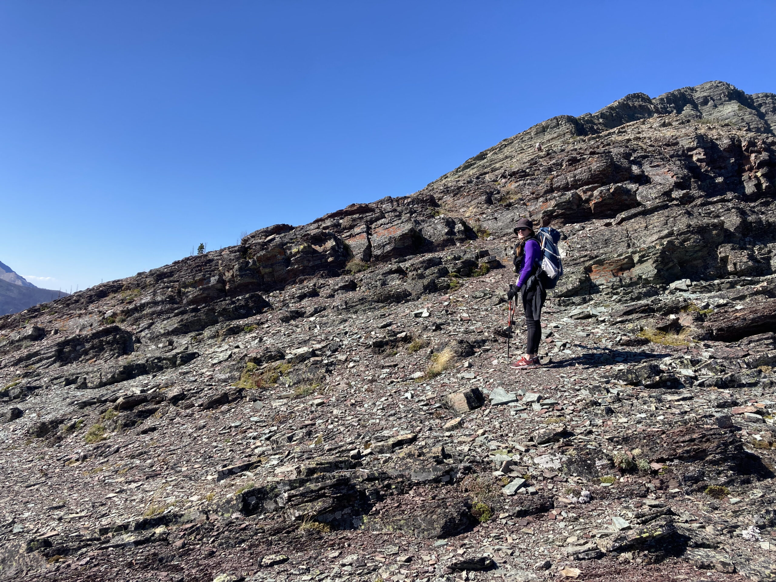
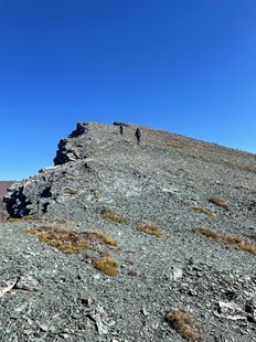
The next morning, we were up in the dark so we could be off as close to 7:00 am as possible. We wanted to give ourselves at least 12 hours to get to Twin Lakes. The short walk out of the campsite to the turn off towards the ridge as the sun was rising and the air was cool, felt great. We turned toward Mount Rowe at the registration box, followed the faint trail and headed towards the thin vertical cutline, the border between BC and Alberta. You can’t miss it. This first 2 km up is hard work, but generally not scrambly. The grade is an average of 20% with some sections much higher. You need to watch where you put your feet to ensure you don’t trip over but otherwise, it’s a nice warm up!
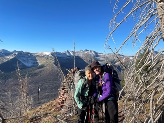
Once we reached the top, we had our first of many celebrations for the day! We were on the ridge! And now had about 12 km of ridge walking! Woohooo! And this is where the fun begins!
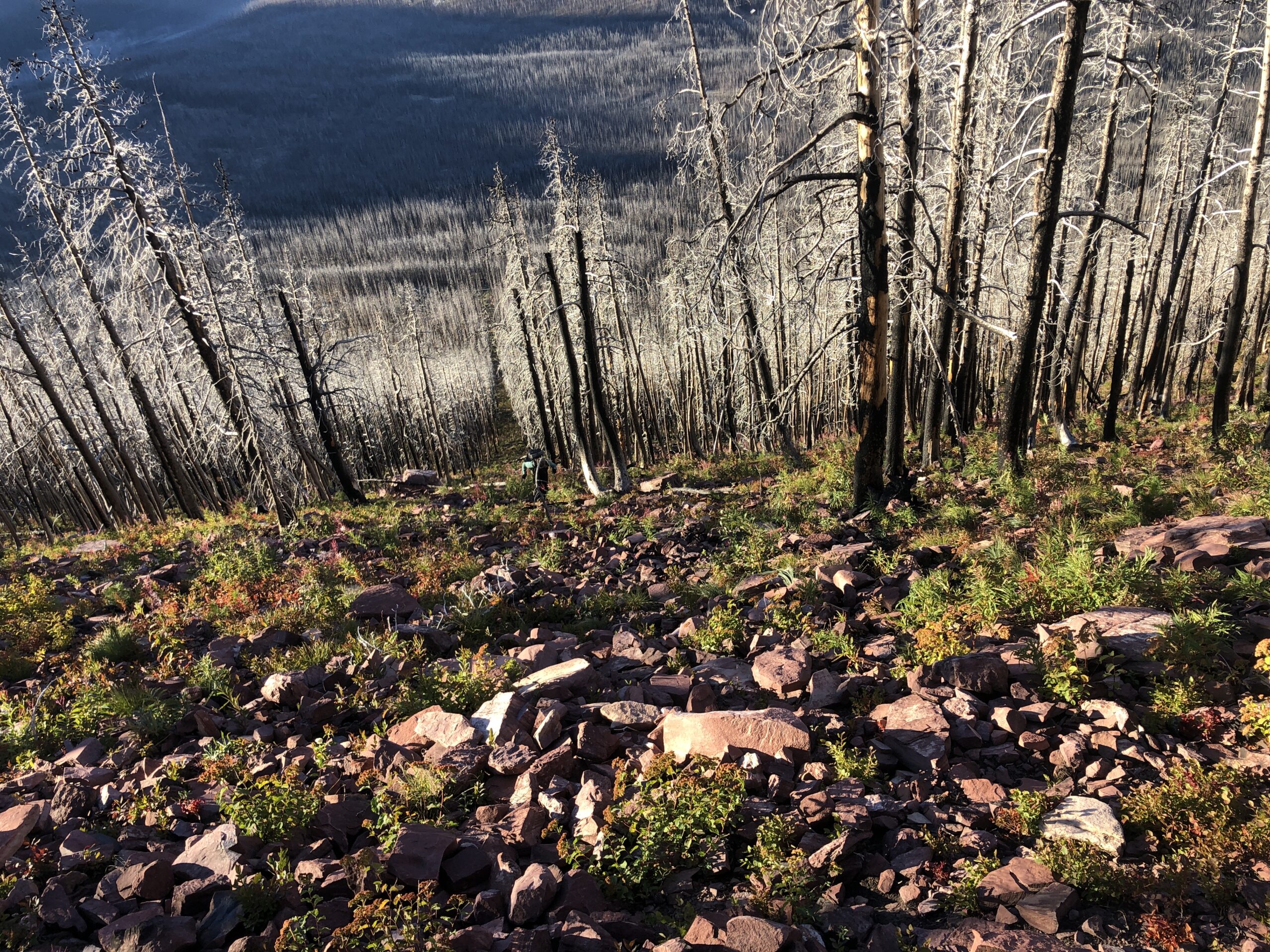
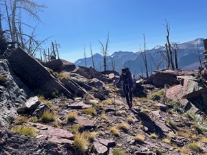
At this point, we were ready for a bit of easy walking so that we could make up some of the time it took us to hike up to the ridge. Not to be. After reaching the ridge, we were almost immediately into terrain with boulders, loose rock and thick trees to navigate. This was disappointing. But once we readjusted our mindset to slow moving, it was fantastic!
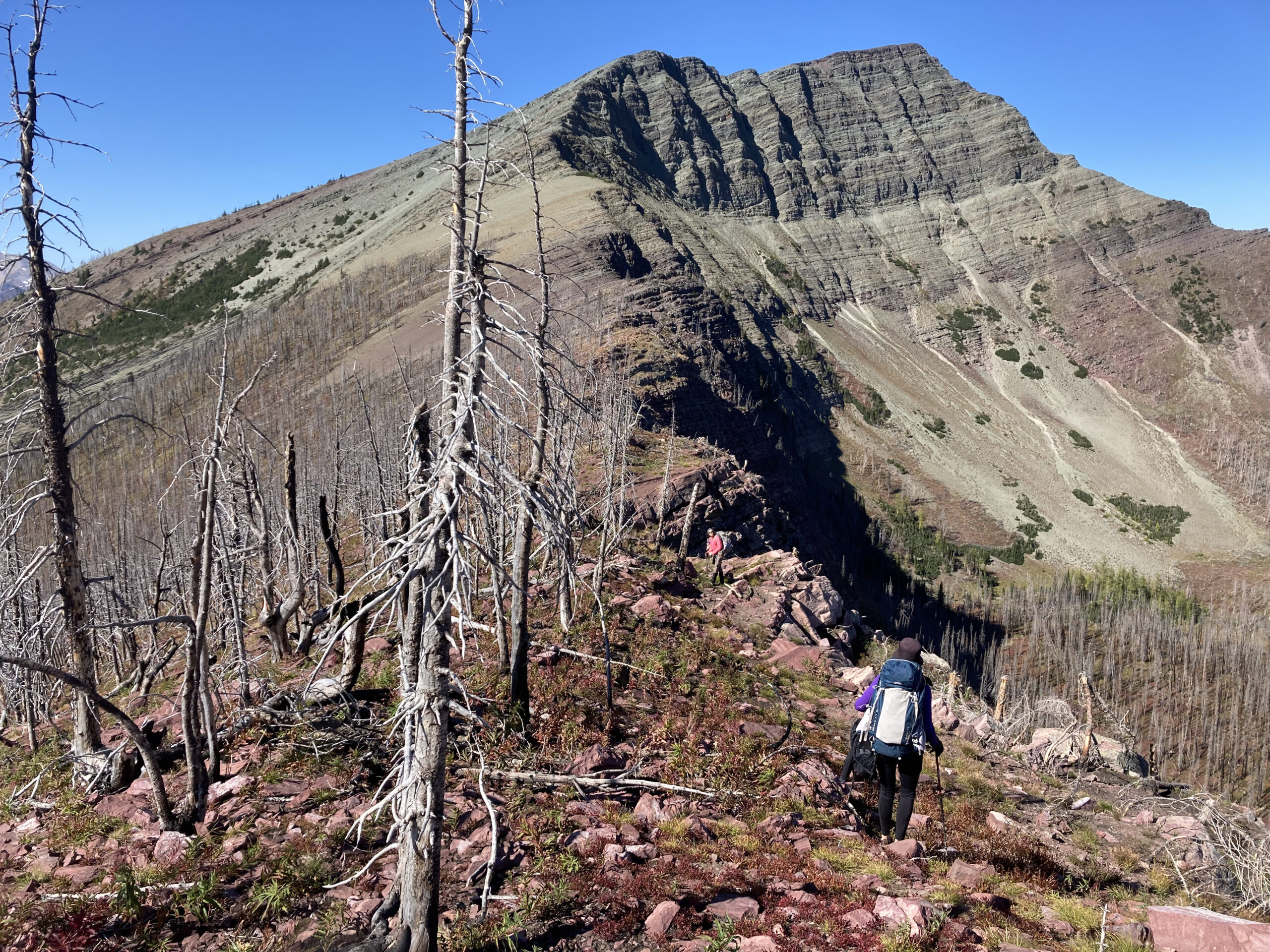
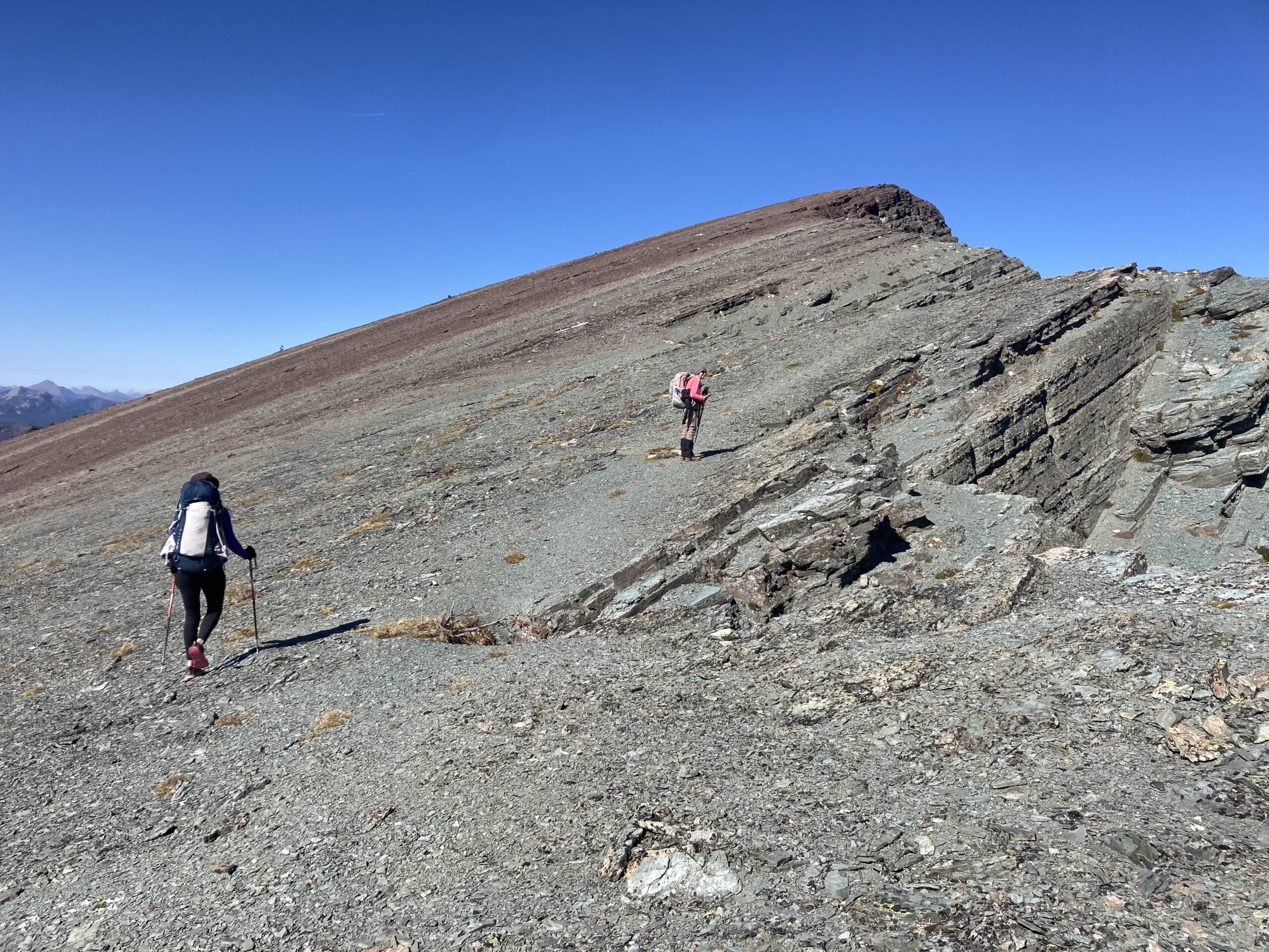
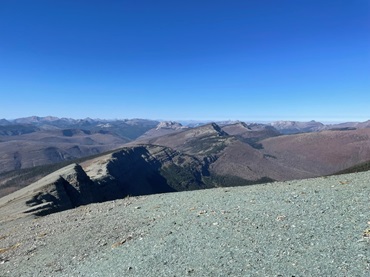
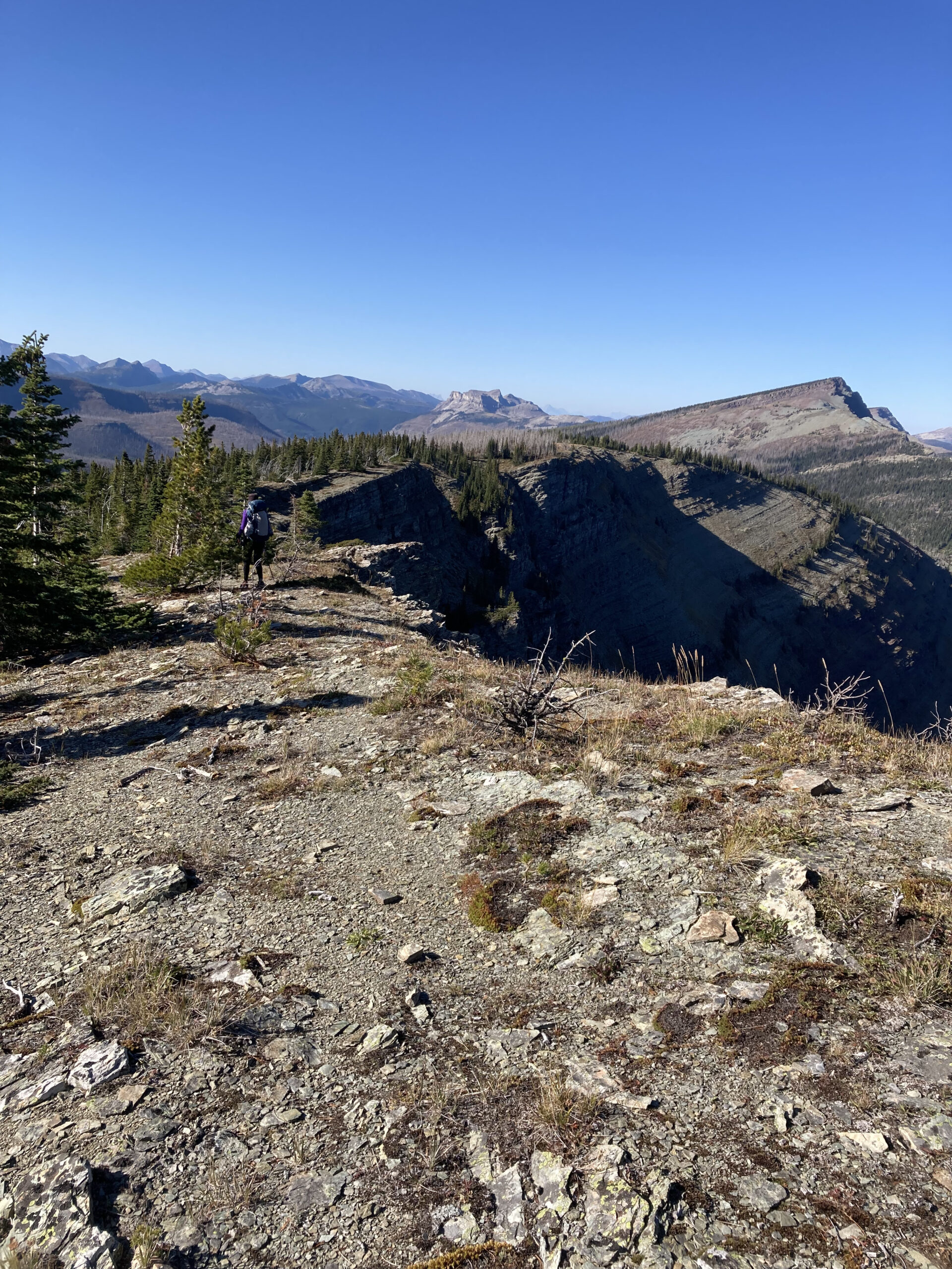
Photos of the ridge make it look smooth and easy walking. It’s not. The route is surprisingly varied, there were many small obstacles to navigate, which is really fun if you’re not pressed for time. At some point along the route a trail emerged. It was along the cliff edge and might be an animal trail, it sure felt like one. This is by far the easiest route to take along the ridge. The sooner you locate this, the less bushwhacking there will be. We still had small obstacles, but at least sections of the trail were relatively easy (as long as you’re okay with a cliff edge).
Here is a section that felt like we were walking within the crown of the ridge.
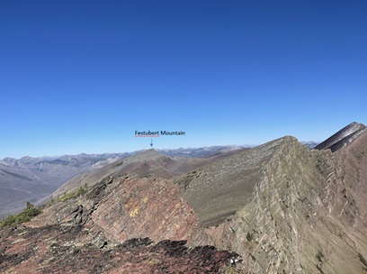
The crux of the route is Festubert Mountain, the green topped mountain in the distance. At 2,520m, it’s the highest point along the ridge and involves some dreaded scrambling in a backpack. In the end, the scrambling wasn’t that bad, it was more about the loose rock on rock which was slippery and a bit scary.
As we started up Festubert Mountain, we moved down the first rock band towards the left, looking for a shorter section of the rock wall that we could scramble up. If we were going to slip on loose rock on this first rock band, we didn’t want to fall far!
Once we were up this rock band and onto the slope of the mountain we felt more secure. A fall in this area would send you down on your face, not off the mountain. We worked our way up diagonally, looking for spots that looked a bit more solid than others. It becomes an easier hike as you get closer to the top.
And then a rest at the top of Festubert Mountain! Here are a few shots from the top of Festubert Mountain, looking both ways on the ridge.
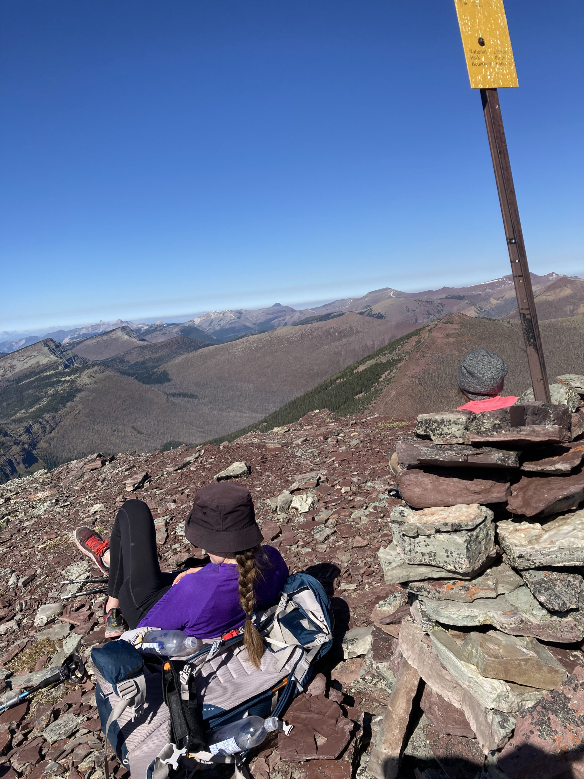
From the top of Festubert Mountain, there is just less than 9 km to go to Twin Lakes campground, mainly downhill. This doesn’t sound like a lot but…
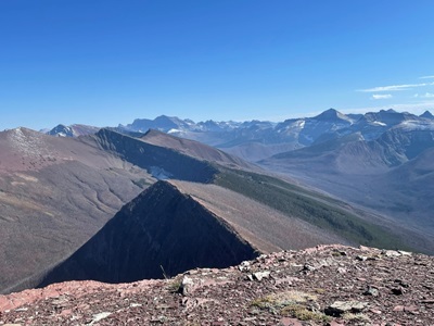
I found the descent off Festubert Mountain lovely, nice soft shale that my feet could sink into.
The route along the ridge continued to be slightly undulating with lots of interesting features (i.e. route finding, rocks, etc.).
Then as we got near South Kootenay Pass, the route got more treed and route finding was a lot more challenging. We got our phones out with the FarOut GDT app fired up and we used that to navigate the route down to the pass. There is a faint trail that you will want to find to get down to the pass. It’s pretty steep around here. Once in the vicinity of South Kootenay Pass, there was more bushwhacking, navigating blown down trees and stepping through undergrowth until we found the trail that took us off the ridge, down to the main GDT and Parks Canada trail. Be careful in here, the undergrowth is thick, there is no trail (or we couldn’t find it) and my inclination was to have my phone out the entire time which almost tripped me up. If you are continuing onto Sage Pass… I’m not sure how long the bushwhacking continues. Presumably there is some sort of a trail, as people do day hike to Kishinena Peak and Sage Pass.
Once we rejoined the main trail, it was very quick hiking and dare I say a bit boring after the ridge walk; the trail felt like a highway in comparison. We arrived at the campsite after sunset, had just enough time to find our headlamps! I think all told, it took us about 13½ hours.
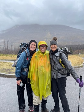
The next day, we hiked out in the rain. I had a chance to try out a lighter weight rain poncho that I just bought (3 oz lighter than my blue one). I liked wearing it (less material to get in the way), but I don’t think it takes as nice a photo as the blue poncho! Oh well… I’ve never been particularly fashion conscious and I’ll take the 3 oz savings!
If you have tons of energy (and I mean tons of energy), you could extend this short trip by adding two epic ridge walks in Waterton to the start and finish. At the start, there’s the Akamina Ridge loop (18k, 900m elevation gain) accessible from Akamina Creek Campsite. At the end of the trip, you could add Avion Ridge to your walk out from Twin Lakes. This trail is accessible from Goat Lake campsite on the Snowshoe trail. This will add elevation and some distance, but I hear it’s fantastic!
Happy hiking!