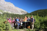
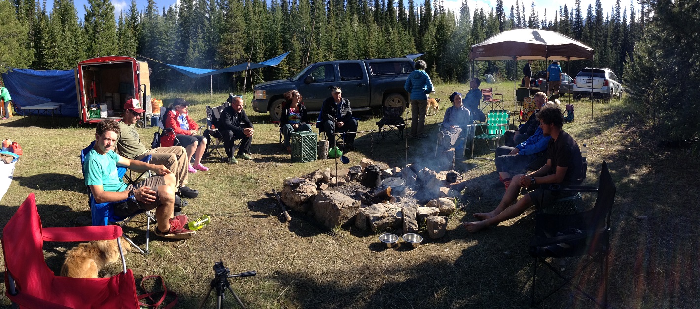
Trail Conditions Update – July 29, 2017
Summer is in full swing on the Great Divide which means alpine wildflowers are blooming and wildfires are burning in some areas.
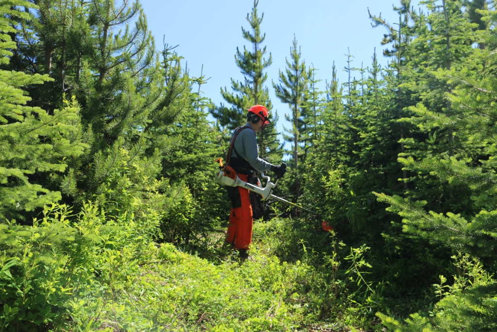
Trails are mostly bare and dry, with some snow patches at higher elevations. Warm weather means rapid snow and ice melt during the day resulting in high water levels and potentially dangerous creek crossings, so attempt to ford larger creeks early in the day when water levels are lowest.
WILDFIRES: Fire danger ratings in the Rockies are very high and trail closures and campfire bans are in effect. Wildfire smoke is occurring along much of the GDT and is causing poor air quality and reduced visibility. Read wildfire updates regularly and be cautious out there.
- TRAIL CLOSURE: Banff National Park, Kootenay National Park and Mount Assiniboine Provincial Park all have trail closures due to the due to the Verdant Creek Wildfire. The GDT is closed from Og Lake campground (c11) to Sunshine Meadows. Detour around the closure by leaving the GDT at Watridge Lake trail junction (c7) or Allenby Pass trail junction on the Assinibone Pass alternate route (noting that access is restricted to groups of 4 or more on the Allenby Pass Trail). Hikers can return to the GDT at Sunshine Village (c15). Sunshine Village is open.
- A campfire ban is in effect in all of BC, which includes all sections of the GDT in BC from Akamina Pass to Kakwa Lake. These prohibitions do not apply to cooking stoves that use gas or propane.
- Due to the high fire hazard, backcountry and front country campfire bans are in effect in Banff, Jasper, Kootenay, Waterton Lakes and Yoho National Parks.
- A Fire Restriction and campfire ban has been issued for the Calgary Forest Area which includes all sections of the GDT in Alberta from Sage Pass to North Kananaskis Pass, due to high fire hazard. Gas or propane stoves are still allowed in campgrounds and random camping areas.
- Given the extremely high fire hazard, campfires are not recommended anywhere on the GDT until further notice.
- For current information, check out Alberta Fire Bans or BC Wildfire Status websites.
BEARS: Berry bushes border trails, roads and campgrounds on the GDT, and black and grizzly bears are feeding on berries right now. Be bear aware on the trails this summer, make noise and carry bear spray.
- Jasper National Park – Bears are frequenting the area around the Signal Fire Road on the north end of the Skyline Trail, so be extra cautious when travelling in that area, make noise and carry bear spray.
TRAIL CLOSURES:
- Banff National Park, Kootenay National Park and Mount Assiniboine Provincial Park all have trail closures due to the due to the Verdant Creek Wildfire. The GDT is closed from Og Lake campground (c11) to Sunshine Meadows. Detour around the closure by leaving the GDT at Watridge Lake trail junction (c7) or Allenby Pass trail junction on the Assinibone Pass alternate route (noting that access is restricted to groups of 4 or more on the Allenby Pass Trail). Hikers can return to the GDT at Sunshine Village (c15). Sunshine Village is open.
- Trail 7 near Jasper is closed to hikers south of the junction with Trail 7e and north of the junction with Trail 7a due to grizzly and black bears frequenting the area next to the golf course. Detour by taking Trail 7e towards Trefoil Lakes and Trail 7b south to Old Fort Point trailhead. Equestrian uses can still use Trail 7 but are not to dismount.
- Numa Creek Trail (Rockwall access trail) remains closed due to wash out of the bridge over the Vermilion River.
- Tumbling Creek Trail (Rockwall access trail) is closed from the Ochre Creek trail to the intersection of the Rockwall Trail before the Tumbling bridge due to a missing bridge at km 6.6.
TRAIL NOTICES:
- From Scarpe Pass (a24), the trail disappears up to La Coulotte Ridge and the hiking becomes significantly more difficult until you reach the ATV track (a27) heading down to the West Castle Road.
- There is a new bridge over the Upper Elk Lake outflow (b38) and a new bypass trail to Fox Lake and West Elk Pass just before the bridge.
- To protect sensitive habitat and improve habitat security for grizzly bears, hiking or travel anywhere except on official trails or designated roads in the Sunshine Meadows, Citadel Pass, and Healy Pass areas of Banff National Park is prohibited.
- The Rockwall Trail is still experiencing early season conditions and is recommended for experienced backpackers only who are prepared for hiking through a variety of hazards and obstacles including snow over steep slopes over Tumbling Pass (c30), avalanche debris across the trail in various locations and fording Helmet Creek by heading upstream from the bridge location (the creek is just above knee deep – bring a rope for a safer crossing).
- Cairnes Creek (d9): The bridge is washed out making this a potentially dangerous ford. There are 2 large trees down across the creek allowing hikers to cross with dry feet. If these trees wash away, it is recommended to ford the creek early in the morning when glacial melt is lowest.
- The damaged Lambe Creek bridge (d10) was removed in September 2015. It is recommended to ford the creek downstream.
- The Howse Pass Trail from Conway Creek (d12) to the Glacier Lake trail junction (d14, 15 km) is in very poor condition. The trail is overgrown, with hundreds of wind-fallen trees across the trail. Hiking in the Howse River floodplain is a viable alternative if the Howse River is low enough to ford.
- The Owen Creek Trail was cleared in July 2015 up to km 6. Beyond that point, the trail is in poor shape with several washed out sections. Expect challenging hiking for 3 km including skirting along steep creek-side cliffs and rock-hopping in the creek itself. At km 6, do not take the trail heading up away from the creek (it is a deadend). Look for orange blazes marking the correct route staying near the creek.
- The Maligne Pass trail in Jasper National Park has been decommissioned and is in poor shape. The trail from Pobokton Creek (e20) to Maligne Lake (e25, approx 42 km) is no longer being maintained by Parks Canada so expect deteriorating and overgrown trail conditions; long pants are recommended. The Maligne River bridge has been removed but the river can be easily forded in normal summer conditions (knee deep in mid-summer). Most other bridges are still in place. Read Nathan Dahl’s August 30, 2015 Maligne Pass trail update here. The Six Passes Route is a good alternative to the overgrown trail.
- The Yates Torrent Bridge is out at the crossing of the Coleman Glacier outflow (near f16). Do not attempt to cross at the old bridge location. Instead, ford the Smoky River farther down the valley. Attempt to cross early in the morning when glacial melt is the lowest or be prepared for a fast and potentially dangerous creek ford.
- The bridges across Gendarme and Carcajou Creeks are out on the Jasper North Boundary Trail. These two creeks are smaller than the Smoky River, but can still be treacherous. Cross Gendarme at the horse crossing just below the old bridge (marked), and Carcajou about 100m below the trail.
- The bridge across Buchanan Creek on the trail to Kakwa Lake, has been removed. The crossing here can be hazardous early in the year or after heavy rains.
ACCESS ROADS:
- Akamina Parkway is open.
- Access to the northern terminus of the GDT in Kakwa Provincial Park is via the Walker Creek Forest Service Road. The Walker Creek FSR has been repaired from Highway 16 to km 33.5. While travelling the remaining 40 kilometres on the Walker Creek FSR, attention is required to navigate the surface as it is uneven, rutted, slippery and very rough. 4WD/AWD high clearance vehicle is recommended. The last 10km from Bastille Creek to Buchanan Creek is closed due to washouts and is not driveable by vehicle so be prepared to walk this distance on foot.