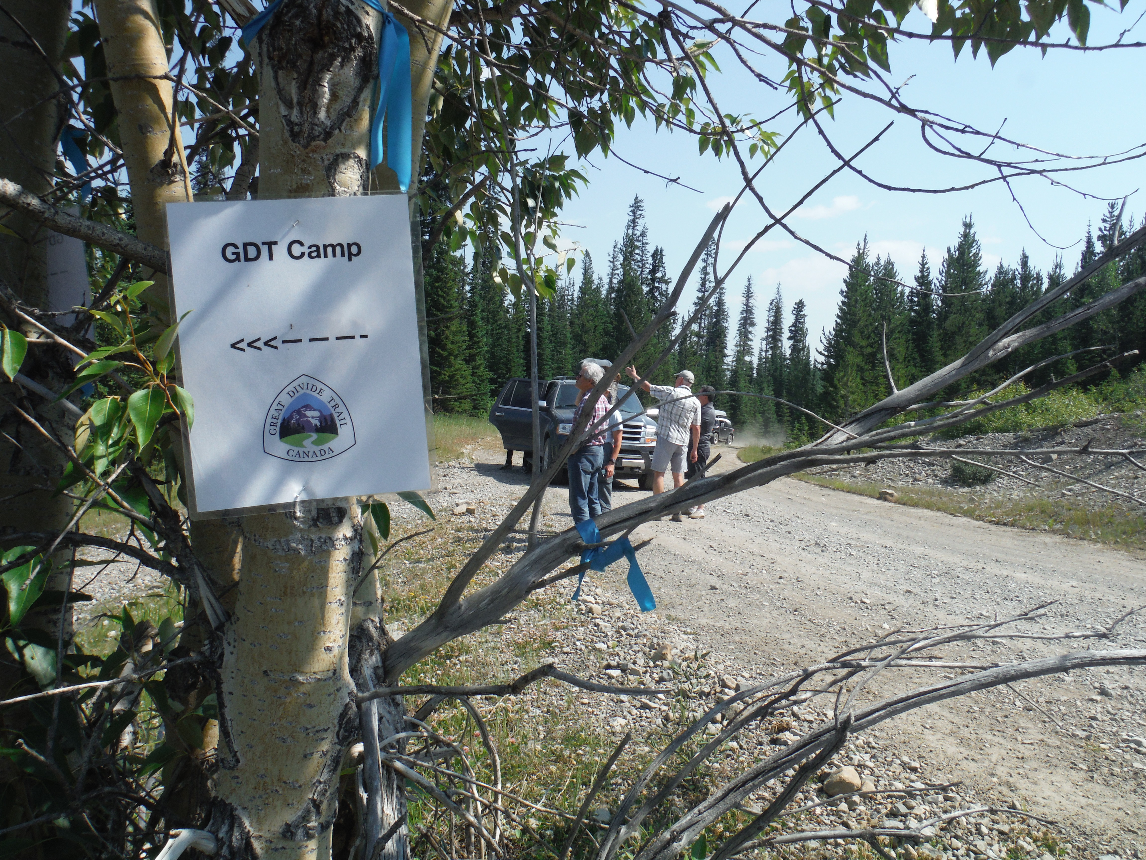
Trail Conditions Update – October 22, 2018
Fall colours are here, and so is the snow! Snow has fallen on most of the GDT and early season avalanche conditions exist where snow has accumulated. Expect wet, icy and slippery trail conditions, and wet and muddy sections at lower elevations with recent rainfall or snow melt. Heavy boots or cleats and poles are recommended. Nighttime and early morning temperatures are below freezing, so be prepared for cold temperatures and shorter days when travelling into the backcountry this fall.
ELK RUTTING SEASON WARNING: It is elk rutting season until mid-October. Warning signs that read “ATTENTION – Elk Mating” have been posted at areas where elk herds often gather. Be aware that bull elk become extremely aggressive during rutting season so keep at least 30 metres away from all elk and never get between a male and female elk.
BEARS: It’s pre-hibernation feeding season for both black and grizzly bears which increases the chances of running into a bear on the trail. It is easy to surprise a bear that is focussed on feeding so make noise while hiking in bear territory. Be alert, make noise, carry bear spray and if you see a bear, back away slowly and leave the area.
TRAIL CLOSURES:
- Due to last year’s Kenow wildfire and this year’s Boundary wildfire, some trails and backcountry campgrounds in Waterton Lakes National Park and Akamina Kishinena Provincial Park are closed. The GDT is closed from the Carthew-Alderson trailhead (a3) to Sage Pass (a17).
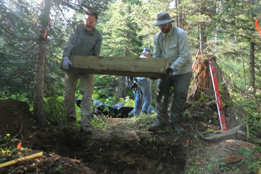
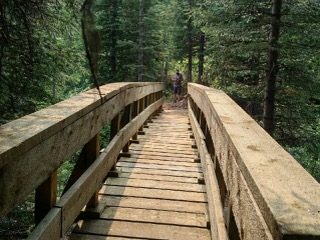
- Numa Creek Trail (Rockwall access trail) remains closed due to wash out of the bridge over the Vermilion River. The pedestrian bridge is being replaced and will be installed in fall 2018. Numa Creek Trail will be cleared in spring 2019 and access to the Rockwall from this location will be restored for mid-summer 2019.
- Trail 7 near Jasper is closed to hikers south of the junction with Trail 7e and north of the junction with Trail 7a due to grizzly and black bears frequenting the area. Detour by taking Trail 7e to Mildred Lake from where you can take several different trails (4a, 7b) to reach Old Fort Point trailhead. Equestrians can still use Trail 7 but are not to dismount.
- The Elysium Pass, Virl, Dorothy and Christine Lakes trailhead is closed during construction of the Meadow Creek Bridge, expected to continue until November 2018. During this time, the Marjorie-Dorothy Lakes Alternate Route and Elysium Pass Alternate Route will not be accessible from this trailhead.
TRAIL NOTICES:
- In 2017, approximately 35 km of the GDT was burned by the Kenow Wildfire between Bertha Bay campground and Font Creek (a19). Some trails that have been damaged by wildfire may require environmental analysis or heavier engineering, and closures could be in place for many months, for the health of the trail and the surrounding landscapes as well as the safety of hikers, park staff and volunteers. The GDTA will continue to monitor and assess the condition of these damaged trails and provide updates as they become available.
- From Scarpe Pass (a24), the trail disappears so hikers must route-find up to La Coulotte Ridge, where the hiking becomes significantly more difficult until you reach the ATV track (a27) heading down to the West Castle Road.
-
- Leroy Creek has washed out approximately 100m of the trail obscuring the location of the creek ford. Look for cairns on either side of the creek marking the crossing.
- The first few kilometres of the Amiskwi Trail were cleared in August 2018, but the rest of the Amiskwi Trail is in poor shape much of the way to Amiskwi Pass. Expect brushy, overgrown conditions, poor or non-existent trail requiring some route-finding, and several fords of the Amiskwi River.
- Cairnes Creek (d9): The bridge is washed out making this a potentially dangerous ford. There are two large trees down across the creek allowing hikers to cross. If these trees wash away, it is recommended to ford the creek early in the morning when glacial melt is lowest.
- The David Thompson Heritage Trail was cleared from Cairnes Creek to Lambe Creek in September 2018.
- The damaged Lambe Creek bridge (d10) washed away in 2015. A small piece of the old bridge and a temporary log bridge allow hikers to cross. If the temporary bridge washes away, it is recommended to ford downstream where the creek is wider and shallower, and cross early in the morning when glacial melt is lowest.
- The Howse Pass Trail from Conway Creek (d12) to the Glacier Lake trail junction (d14) is in very poor condition. The trail is overgrown, with hundreds of wind-fallen trees across the trail. Hiking in the Howse River floodplain is highly recommended when the river is low enough to safely ford.
- Parks Canada has advised that GDT hikers are able to hike through the Mistaya Canyon/Howse Pass trailhead during the parking lot closure as long as the closed area is avoided.
- The Owen Creek Trail was cleared in July 2015 up to km 6 but there has been some new deadfall since then. Beyond that point, the trail is in poor shape with several washed out sections. Expect challenging hiking for 3 km including skirting along steep creek-side cliffs and rock-hopping in the creek itself. At km 6, do not take the trail heading up away from the creek (it is a deadend). Look for orange blazes marking the correct route staying near the creek.
- The Maligne Pass trail from Pobokton Creek (e20) to Trapper Creek (e24) is no longer being maintained by Parks Canada so expect deteriorating and overgrown trail conditions; long pants are recommended. The Maligne River bridge has been removed but the river can be easily forded in normal summer conditions (knee deep in mid-summer). Most other bridges are still in place. The Six Passes Route is a cross-country alternative to the overgrown trail for hikers with route-finding experience – Read more here.
- The Yates Torrent Bridge is out at the crossing of the Coleman Glacier outflow (near f16). Do not attempt to cross at the old bridge location. There are two options: (1) ford the Smoky River in the floodplain; or (2) ford Yates Torrent approximately 500m upstream (location was flagged in 2017). At both locations attempt to cross early in the morning when glacial melt is the lowest or be prepared for a fast and potentially dangerous creek ford.
- The bridges across Gendarme and Carcajou Creeks are out on the Jasper North Boundary Trail. These two creeks are smaller than the Smoky River, but can still be treacherous. Cross Gendarme at the horse crossing just below the old bridge (marked), and Carcajou about 100m below the trail.
- Hikers have reported that Wolverine campground and the surrounding trail are flooded. Detour around by following higher ground through the forest west of the trail and campground.
- The bridge across Buchanan Creek on the trail to Kakwa Lake, has been removed. The crossing here can be hazardous early in the year or after heavy rains.
ACCESS ROADS:
- Akamina Parkway and Red Rock Parkway in Waterton Lakes National Park are closed.
- The Walker Creek Forestry Road is driveable to the Kakwa trailhead but a high clearance 4WD vehicle is recommended. A washout at km 66 may be impassable to non 4WD vehicles.
- For more information on road conditions, check out Alberta 511 and Drive BC.