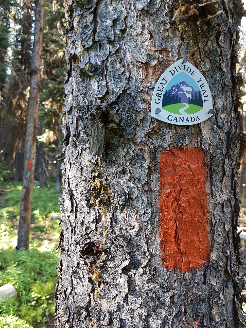
Trail Conditions Update – November 26, 2019
Winter conditions are here. Snow has fallen on all of the GDT and is accumulating so expect wet, icy and slippery trail conditions. Boots, hiking poles, snow cleats or snowshoes are recommended. Temperatures are below freezing, so be prepared for winter conditions and short days when travelling into the backcountry this winter.
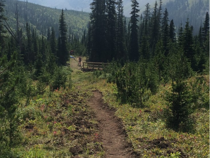
Remember that the GDT is not designed for snow travel and is not maintained in the winter. When the trail is covered in snow, finding it may be impossible so excellent navigation skills are required. Hiking on the GDT when it’s snow covered means exposing yourself to potential avalanche risk. In many places, it’s unwise to travel the trail during these conditions. While planning your hike, research snow conditions and check out the Canadian Avalanche Centre for the latest avalanche bulletins.
TRAIL CLOSURES:
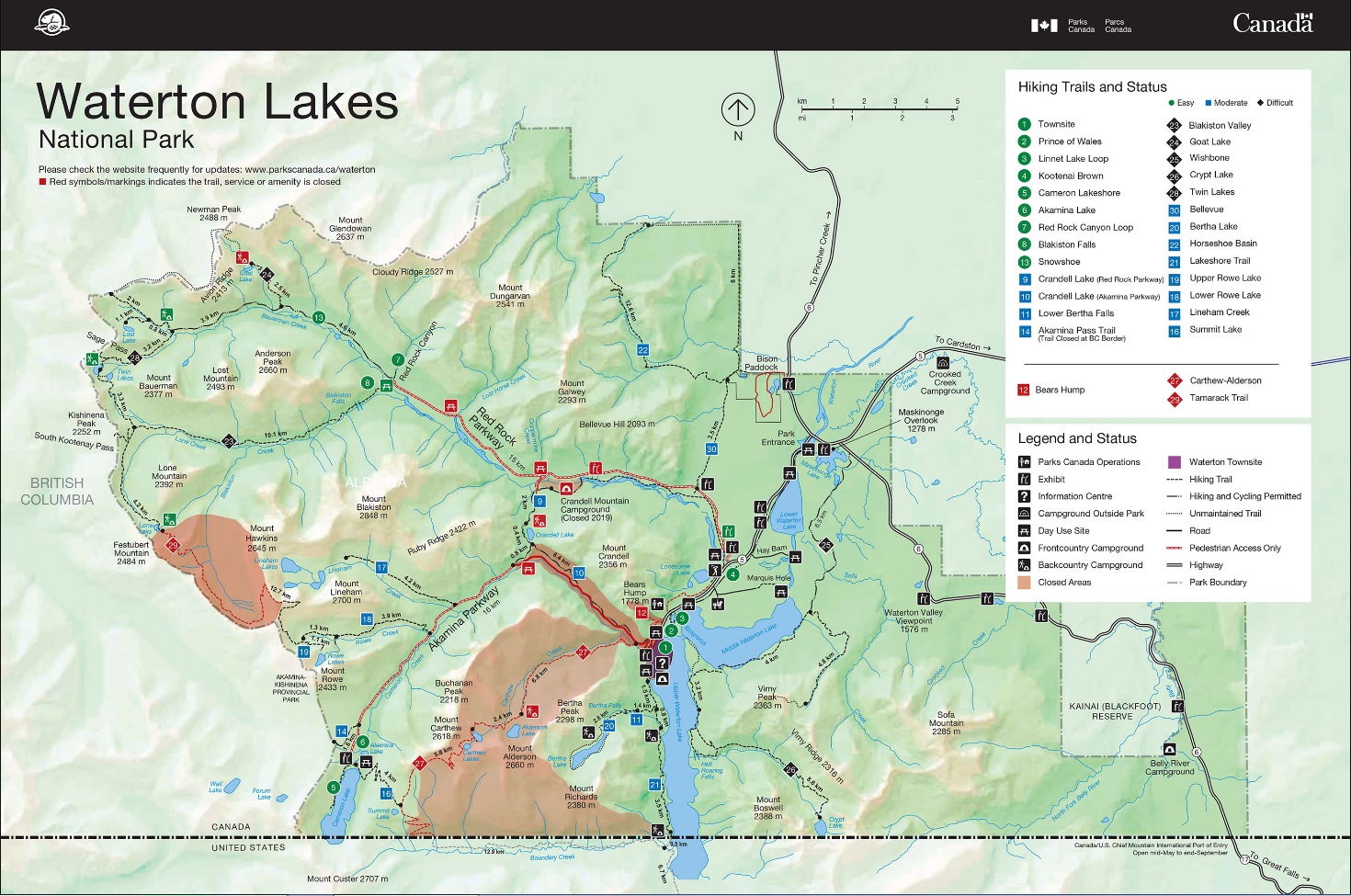
- Most trails in Waterton Lakes National Park have now re-opened following the 2017 Kenow wildfire however the Akamina Parkway is now closed to all traffic including pedestrians meaning that hikers cannot access Rowe Lakes trailhead (a9) from Cameron Lake (a8). The GDTA is working with Waterton Lakes National Park staff to come up with a hiking detour prior to next summer. Stay tuned.
- Numa Creek Trail (Rockwall access trail) remains closed due to wash out of the bridge over the Vermilion River. The pedestrian bridge is being replaced and access to the Rockwall from this location will be restored next year.
- Jasper National Park seasonal closures – The GDT is closed from Four Point Campground (e15) to Signal Mountain Trailhead (e32) and from Moose Pass (f15) to Bess Pass (g3) from November 1, 2019 to February 28, 2020, to prevent trails from facilitating an unnatural level of predator access to threatened woodland caribou.
TRAIL NOTICES:
- In 2017, approximately 35 km of the GDT was burned by the Kenow Wildfire between Bertha Bay campground and Font Creek (a19). Some trails that have been damaged by wildfire may require environmental analysis or heavier engineering, and closures could be in place for many months as trails and roads are repaired. The GDTA will continue to monitor and assess the condition of these damaged trails and provide updates as they become available.
- From Scarpe Pass (a24), the trail disappears so hikers must route-find up to La Coulotte Ridge, where the hiking becomes significantly more difficult until you reach the ATV track (a27) heading down to the West Castle Road.
-
- Leroy Creek has washed out approximately 100m of the trail obscuring the location of the creek ford at 50.677892, -115.317131. Look for cairns on either side of the creek marking the crossing.
- The first half of the Amiskwi Trail was cleared in August 2018, but the rest of the trail is in poor shape much of the way to Amiskwi Pass. Expect brushy, overgrown conditions, and several fords of the Amiskwi River.
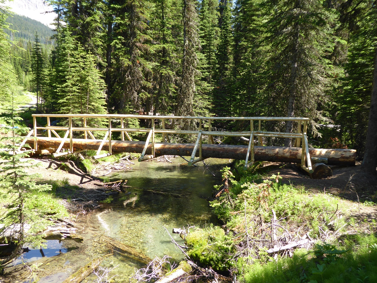
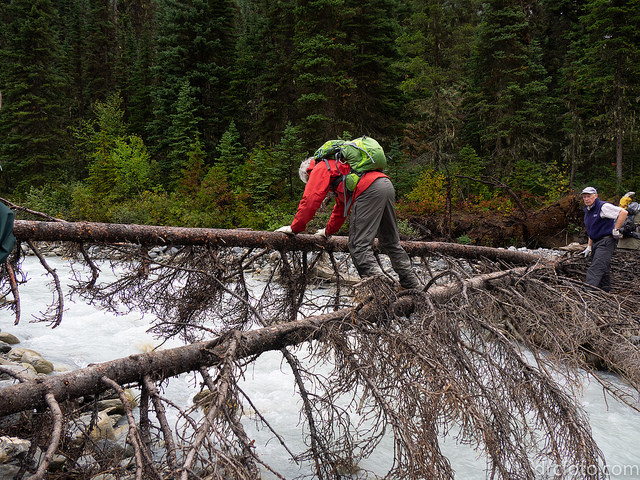
- The David Thompson Heritage Trail was cleared to Howse Pass in September 2019. A new log bridge is in place across Lambe Creek (d10). Cairnes Creek (d9) is a potentially dangerous ford, however currently there are two large trees down across the creek allowing hikers to cross. If these trees wash away, it is recommended to ford the creek early in the morning when glacial melt is lowest.
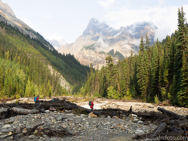
- Descending the north side of Howse Pass (d11), the main route of the GDT now follows Conway Creek and Howse River floodplains wherever possible, without crossing the main channel of the Howse River. The floodplain is wide and scenic. There are several shallow fords of smaller channels on the floodplain so hikers must be prepared to have wet feet while enjoying a significantly better hiking experience than the old overgrown trail strewn with hundreds of fallen trees. In June and early July, the Howse River may be in flood making some sections of the floodplain difficult or impassable in which case hikers should consider using the old trail (now marked as an alternate route). Conversely, in late August and September when the river is low, hikers may be able to ford the main river channel and completely avoid any bushwhacking along the river’s edge. See here for a more detailed route description.
- The first 6 km of the Owen Creek Trail are in fair condition. Beyond that point, the trail is in poor shape with several washed out sections. Expect challenging hiking for 3 km including skirting along steep creek-side cliffs and rock-hopping in the creek itself. At km 6, do not take the trail heading up away from the creek (it is a deadend). Look for orange blazes marking the correct route staying near the creek.
- The Maligne Pass trail from Pobokton Creek (e20) to just south of Trapper Creek (e24) is no longer being maintained by Parks Canada so expect deteriorating and overgrown trail conditions; long pants are recommended. The Maligne River bridge has been removed. The river can usually be forded in normal summer conditions but can be a deep and challenging ford after periods of heavy rain. Most other bridges are still in place. The Six Passes Route is a cross-country alternative to the overgrown trail for hikers with route-finding experience – Read more here.
- The Yates Torrent Bridge is out at the crossing of the Coleman Glacier outflow (near f16). Do not attempt to cross at the old bridge location. There are two options: (1) ford the Smoky River in the floodplain; or (2) ford Yates Torrent approximately 500m upstream (location was flagged in 2017). At both locations attempt to cross early in the morning when glacial melt is the lowest or be prepared for a fast and potentially dangerous creek ford.
- The bridges across Gendarme and Carcajou Creeks are out on the Jasper North Boundary Trail. These two creeks are smaller than the Smoky River, but can still be treacherous. Cross Gendarme at the horse crossing just below the old bridge (marked), and Carcajou about 100m below the trail.
- Hikers have reported that Wolverine campground and the surrounding trail are flooded. Detour around by following higher ground through the forest west of the trail and campground.
- The bridge across Buchanan Creek on the trail to Kakwa Lake, has been removed. The crossing here can be hazardous early in the year or after heavy rains.
ACCESS ROADS:
Winter conditions exist on many mountain highways and roads. Roads can be snowy and icy so check for the latest conditions before you travel and carry chains and/or winter tires. For more information, check out Alberta 511 and Drive BC.
- Akamina Parkway and Red Rock Parkway in Waterton Lakes National Park are closed due to ongoing construction but Red Rock Parkway is open to pedestrians.
- Highway 40 is seasonally closed from Peter Lougheed Provincial Park to Highwood House beginning December 1.
- Forestry Trunk Road 940 is seasonally closed south of Cataract Creek and northwest of Plateau Mountain Road beginning December 1.
National and Provincial Park Trail Conditions:
Banff National Park
Jasper National Park
Kootenay National Park
Waterton Lakes National Park
Yoho National Park
Akamina‐Kishinena Provincial Park
Castle Wildland Provincial Park
Castle Provincial Park
Elk Lakes Provincial Park
Height of the Rockies Provincial Park
Kakwa Provincial Park
Mount Assiniboine Provincial Park
Mount Robson Provincial Park
Peter Lougheed Provincial Park