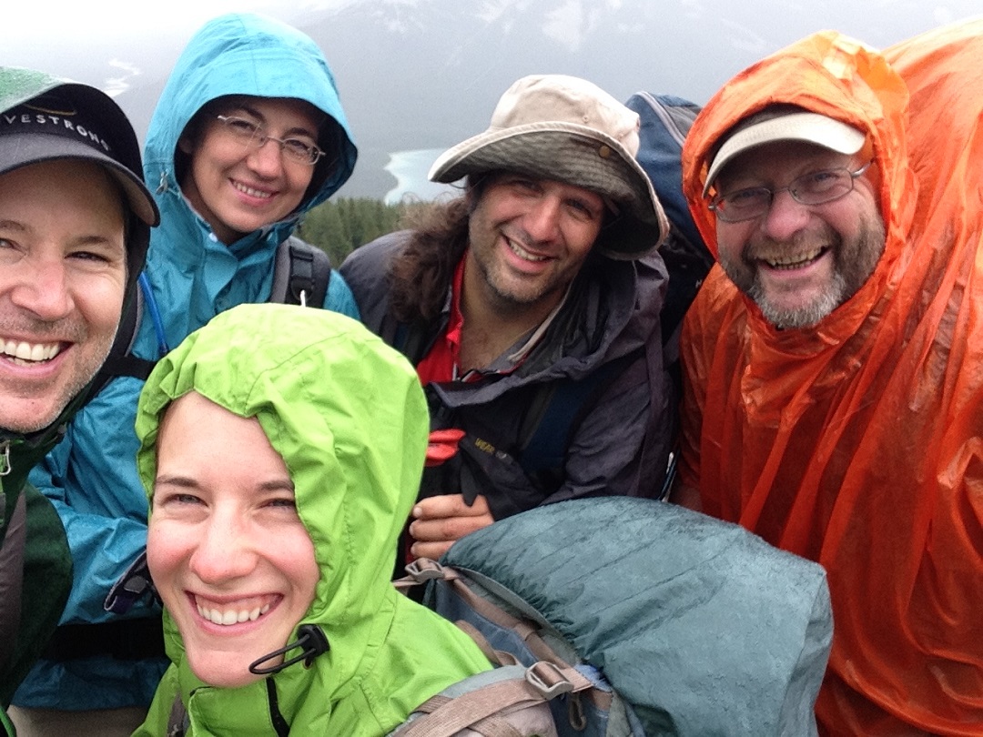
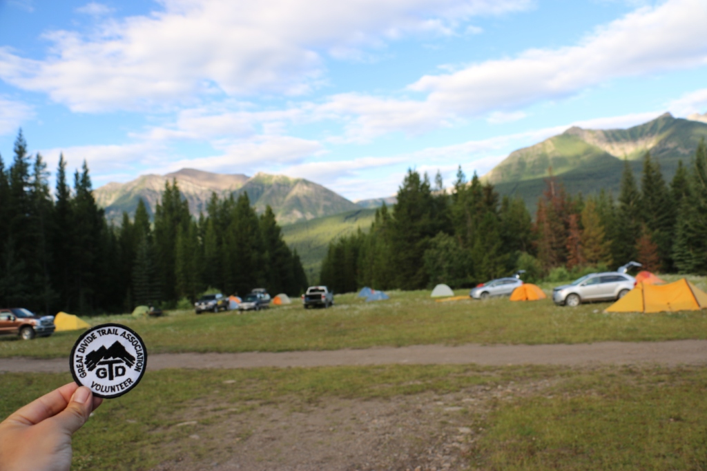
Trail Conditions Update – November 1, 2015
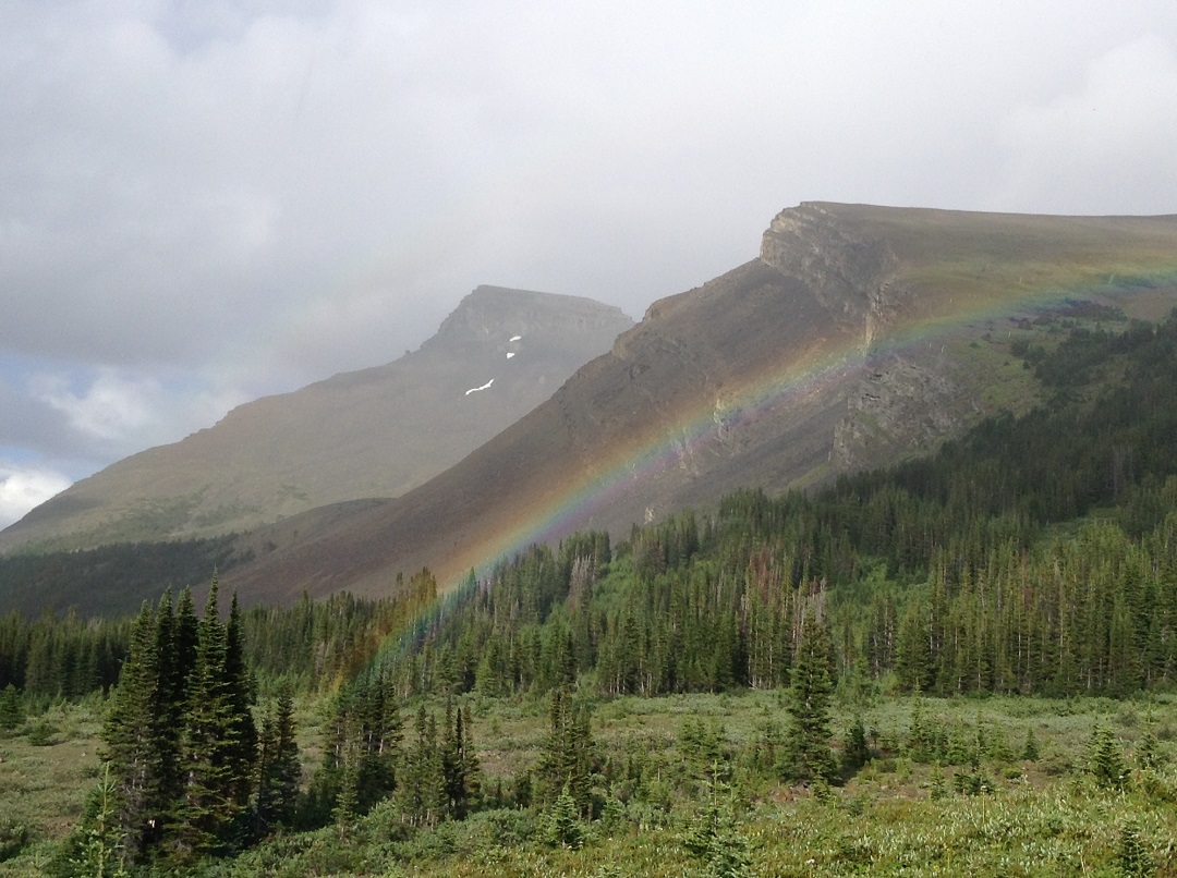
Winter is coming! The GDT has experienced an unusually long fall hiking season with some lower elevation trails still snowfree. At higher elevations expect fresh snow and wet or icy trail conditions, with temperatures falling below freezing. Conditions can change quickly so be prepared for all weather conditions when travelling into the backcountry this fall.
SEASONAL CLOSURES:
- Jasper National Park: The GDT is closed from Four Point Campground to Signal Mountain Trailhead from November 1, 2015 to February 28, 2016, to prevent trails from facilitating an unnatural level of predator access to threatened woodland caribou.
- Peter Lougheed Visitor Information Centre is under a seasonal closure from October 13 until November 18, 2015.
- The Lake Magog campground is currently closed due to safety concerns caused by a Grizzly bear in the area. Camping is only permitted at O’Brien Meadows within the Core Area of Mount Assiniboine Provincial Park at this time.
TRAIL CLOSURES:
- Elk Lakes Provincial Park: Extensive repairs and construction on the trail between Lower and Upper Elk Lakes to be carried out throughout 2015 hiking season. Detour to West Elk Pass by taking the Elkan Creek trail from the parking lot trailhead. Lower Elk Lake campground is still accessible but hikers are asked to exercise caution in this area during construction.
TRAIL NOTICES:
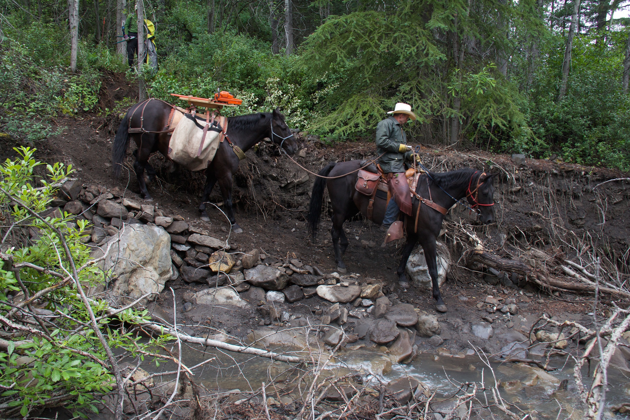
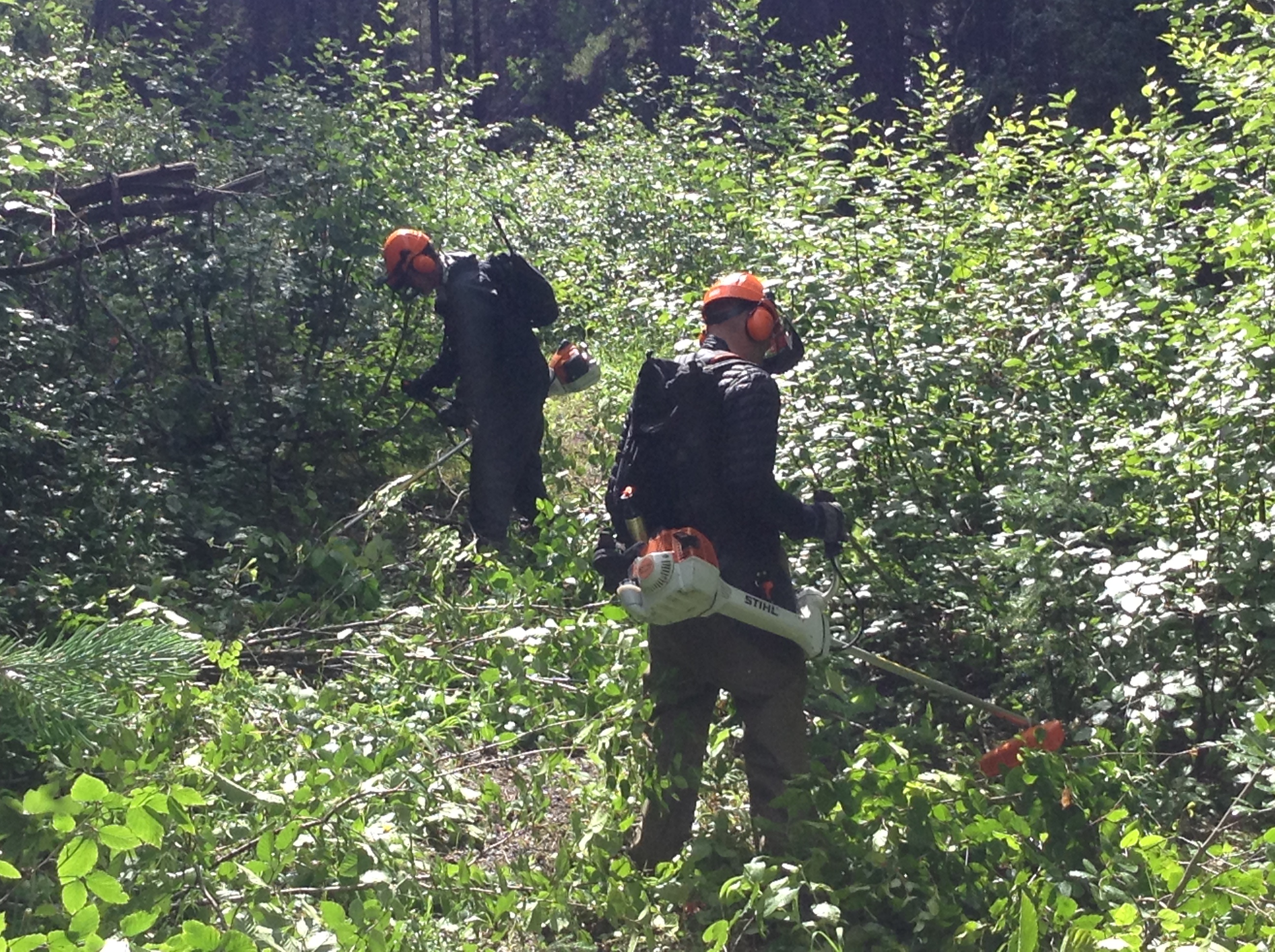
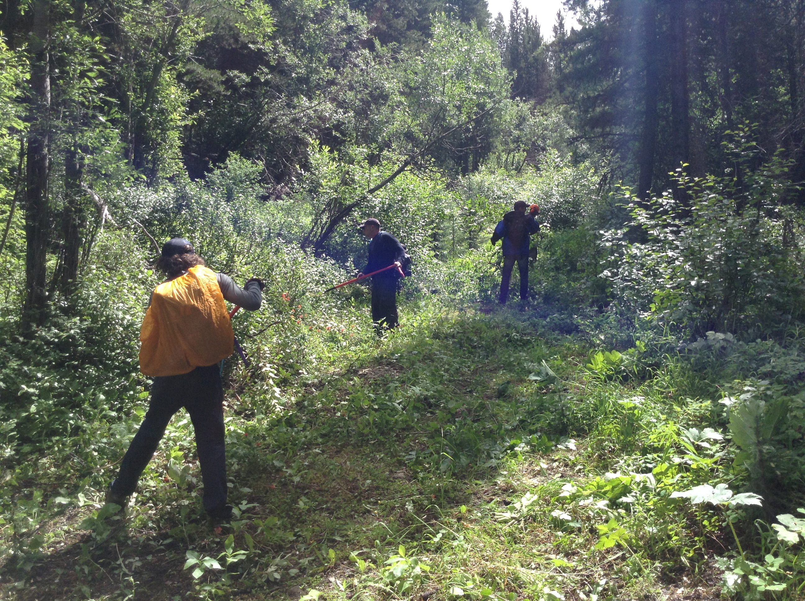
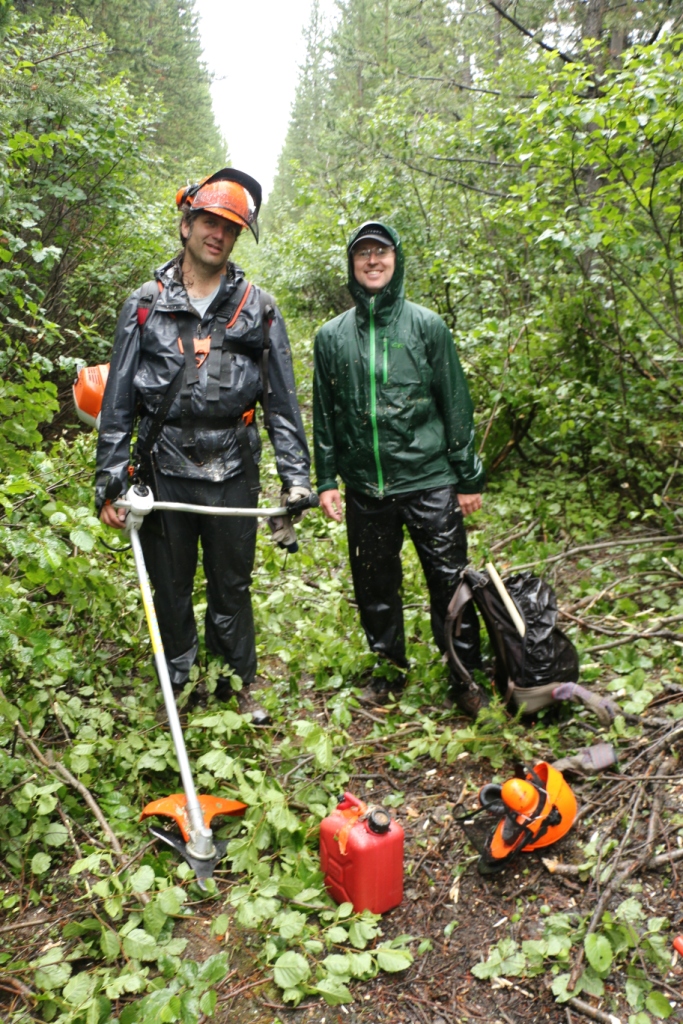
- The trail from Sage Pass (a17) to Scarpe Pass (a24) was cleared and blazed in August 2014 and is in good shape. From Scarpe Pass, the trail disappears up to La Coulotte Ridge and the hiking becomes significantly more difficult until you reach the ATV track (a27) heading down to the West Castle Road.
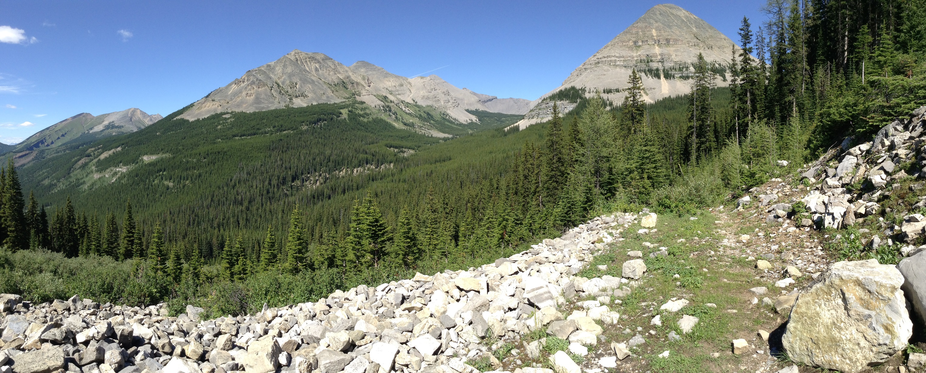
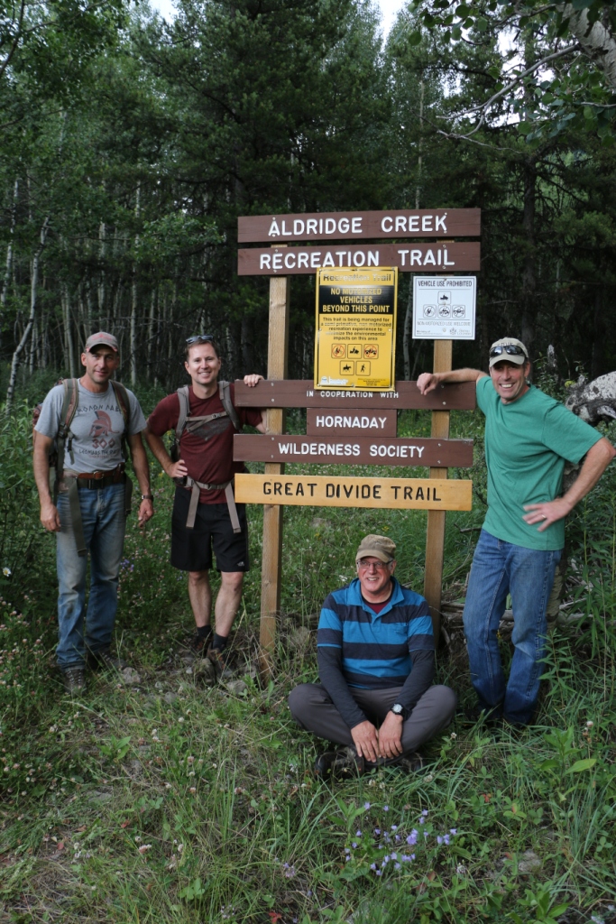
- The Aldridge Creek Trail between Fording River Pass (b31) and the Kananaskis Power Line Road (b32) was cleared and restored in July 2015.
- On October 7, 2015, a large landslide occurred on the relatively low angle western slopes of Mount Cautley, above the Lake Magog area in Mount Assiniboine Provincial Park. For public safety, BC Parks requests that visitors to the area stay well away from the site and stay clear of the slide’s run out downslope.
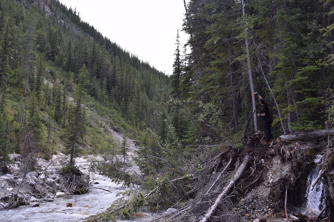
- Cairnes Creek (d9): The bridge is washed out making this a potentially dangerous ford. It is recommended to cross early in the morning when glacial melt is lowest.
- The damaged Lambe Creek bridge (d10) was removed in September 2015. It is recommended to ford the creek further downstream.
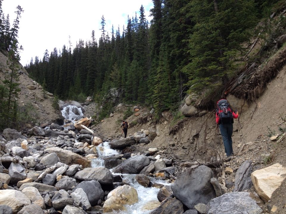
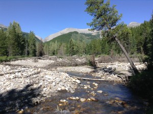
- The Howse Pass Trail from Conway Creek (d12) to the Glacier Lake trail junction (d14, 15 km) is in very poor condition. The trail is overgrown, with hundreds of wind-fallen trees across the trail. Hiking in the Howse River floodplain is a viable alternative if the Howse River is low enough to ford.
- The Owen Creek Trail was cleared in July 2015 up to km 6. Beyond that point, the trail is in poor shape with several washed out sections. Expect challenging hiking for 3 km including skirting along steep creek-side cliffs and rock-hopping in the creek itself. At km 6, do not take the trail heading up away from the creek (it is a deadend). Look for orange blazes marking the correct route staying near the creek.
- The Maligne Pass trail in Jasper National Park has been decommissioned and is in poor shape. The trail from Pobokton Creek (e20) to Maligne Lake (e25, approx 42 km) is no longer being maintained by Parks Canada so expect deteriorating and overgrown trail conditions; long pants are recommended. The Maligne River bridge has been removed but the river can be easily forded in normal summer conditions (knee deep in mid-summer). Most other bridges are still in place. Read Nathan Dahl’s August 30, 2015 Maligne Pass trail update here.
- The Yates Torrent Bridge is out at the crossing of the Coleman Glacier outflow (near f16). Attempt to cross early in the morning when glacial melt is the lowest or be prepared for a fast and potentially dangerous creek ford.
ACCESS TRAIL CLOSURES:
- Kootenay National Park – Due to washed out bridges, access to Numa Creek Falls and Trail remains closed.
ACCESS ROADS UPDATE:
Winter conditions exist on many mountain highways and roads. Roads can be snowy and icy so check for the latest conditions before you travel and carry chains and/or winter tires. For more information, check out Alberta 511 and Drive BC.
- Highway 40 will be seasonally closed from Peter Lougheed Provincial Park to Highwood House beginning December 1.
- Forestry Trunk Road 940 will be seasonally closed south of Cataract Creek and northwest of Plateau Mountain Road beginning December 1.
- The Red Rock Parkway in Waterton Lakes National Park is closed for the season until approximately May 2016 to allow for reconstruction of the parkway and the lower parking lot at Red Rock Canyon.
- Access to the northern terminus of the GDT in Kakwa Provincial Park is via the Walker Creek Forest Service Road. The Walker Creek FSR has been repaired from Highway 16 to km 33.5. While travelling the remaining 50 kilometres on the Walker Creek FSR, attention is required to navigate the surface as it is uneven, rutted, slippery and very rough. The road is not recommended for anything other than a 4×4 high clearance vehicle. The last 10km from Bastille Creek to Buchanan Creek are particularly rough and muddy and might not be driveable by vehicle so be prepared to walk this distance on foot.


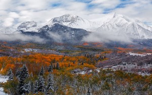
 Spring is transition time on the GDT. Hiking trails at lower elevations vary from bare and muddy to slushy and icy, while trails at higher elevation remain snowbound with potential avalanche risk. Trails can be icy in the morning but warm daytime temperatures are creating slushy and slippery conditions. Snowshoes, cleats and/or poles are recommended for hikers.
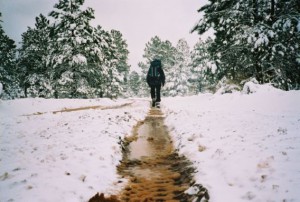 Winter has arrived in the Rocky Mountains! Snow has fallen on all of the GDT with significant accumulation at higher elevations. Expect snowy, slippery, wet or muddy trail conditions. Snow cleats or snowshoes are recommended. Temperatures are below freezing so be prepared for all weather conditions when travelling into the backcountry.
 Trail Conditions Update – OCTOBER 7, 2014
 Trail Conditions Update – SEPTEMBER 10, 2014